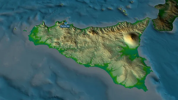
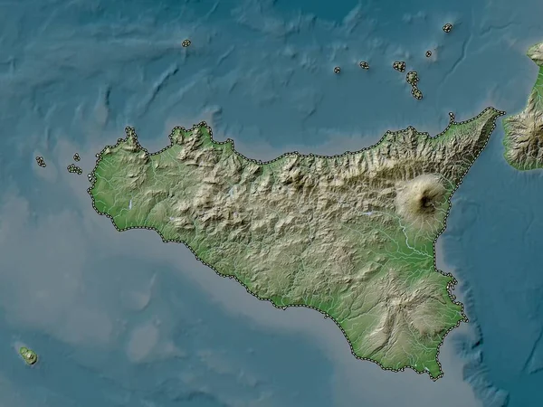
Stock image Sicily, autonomous region of Italy. Elevation map colored in wiki style with lakes and rivers
Published: Oct.11, 2022 10:33:04
Author: Yarr65
Views: 2
Downloads: 0
File type: image / jpg
File size: 4.9 MB
Orginal size: 3840 x 2880 px
Available sizes:
Level: bronze
Similar stock images

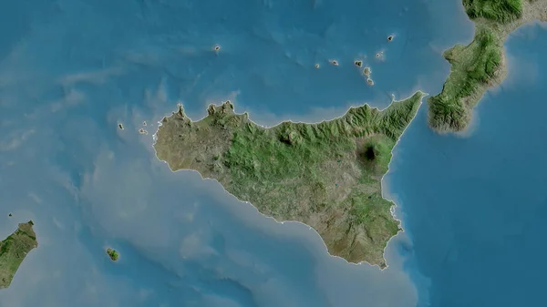
Sicily, Autonomous Region Of Italy. Satellite Imagery. Shape Outlined Against Its Country Area. 3D Rendering
2880 × 1620