Home
Images
Vectors
Videos
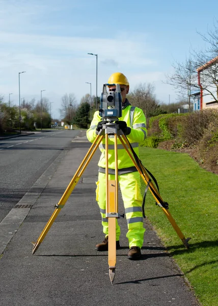
Stock image Site engineer surveying coordinates and levels of points on existing road using total station installed above control point
Published:
Nov.11, 2021 09:25:35
Author:
Iren_Miller
Views:
1
Downloads:
0
File type:
image
/
jpg
File size:
10.15 MB
Orginal size:
3214
x
4500
px
Available sizes:
S
(357 x 500)
M
(714 x 1000)
L
(1428 x 2000)
XL
(3214 x 4500)
EL0
(3214 x 4500)
Level:
bronze
Download Image
Image topics:
Equipment
Male
Man
Technology
Construction
Industry
Measuring
Professional
Measurement
Work
Engineering
Land
Worker
Engineer
Workplace
Topography
Tripod
Surveyor
Topographic
Surveying
Geodesy
Theodolite
Construction Site
Total Station
Similar stock images
Site Engineer Doing Road Survey Using Modern Robotic Total Station EDM Before Begining Of Construction Works And Setting Construction Site
3571 × 5000
Site Engineer Doing Road Survey Using Modern Robotic Total Station EDM Before Begining Of Construction Works And Setting Construction Site
3337 × 5000
Site Engineer Checking Levels Of The Road Using Autolevel
3333 × 5000
Site Engineer Installing Backsight Prism Above Control Points On Construction Site
4286 × 6000
Site Engineer Using Electronic Total Station To Survey Road
3000 × 4500
Site Engineer Checking Levels Of The Road Using Autolevel
4500 × 3000
Site Engineer Installing Robotic Total Station On Top Of Wooden Tripod Above Control Point To Perform Surveying And Setting Out
4747 × 6645
Site Engineer Installing Robotic Total Station On Top Of Wooden Tripod Above Control Point To Perform Surveying And Setting Out
3571 × 5000