Home
Images
Vectors
Videos
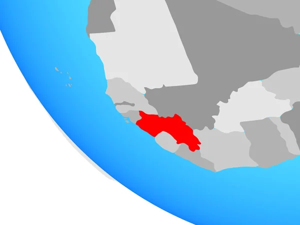
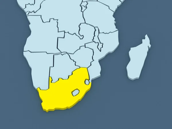
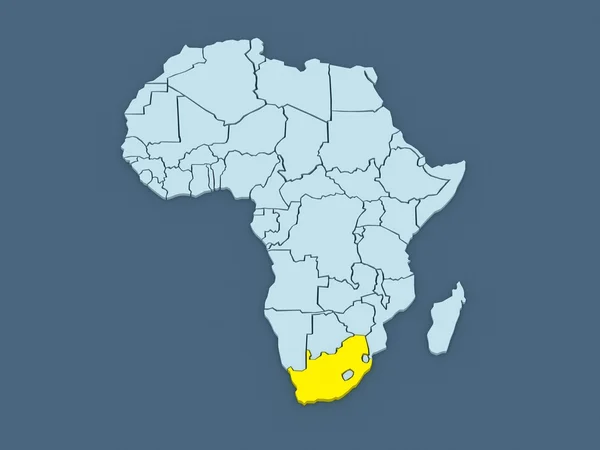
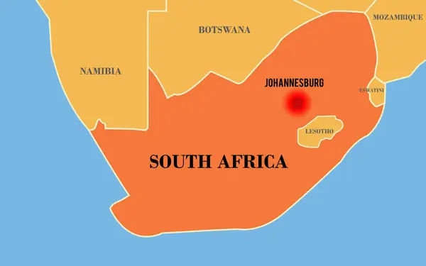
Stock image South Africa map. Map with neighboring states and name. Capital Johannesburg highlighted
Published:
Jul.16, 2024 07:26:24
Author:
ranyaartdesign.gmail.com
Views:
0
Downloads:
0
File type:
image
/
jpg
File size:
1.43 MB
Orginal size:
7795
x
4874
px
Available sizes:
S
(500 x 313)
M
(1000 x 625)
L
(2000 x 1251)
XL
(7795 x 4874)
EL0
(7795 x 4874)
Level:
beginner
Download Image
Image topics:
Red
Vector
Illustration
Event
Business
Travel
Orange
Silhouette
Border
African
News
Education
Culture
World
Ocean
Town
Capital
Economy
Eastern
Outline
Country
Western
Map
Cartography
Geography
National
Report
State
Countries
Government
Political
Geographic
Cities
Society
Territory
Neighbour
Nation
Geographical
Namibia
Botswana
Lesotho
Mozambique
Johannesburg
Brics
South Africa
South African
South Africa Map
Africa Map
Johannesburg South Africa
Similar stock images
Sierra Leone In Red On Map
5000 × 3750
Guinea On Simple Globe. 3D Illustration.
5000 × 3750
Map Of Worlds. South Africa.
5600 × 4200
Namibia Area On The Satellite B Map In The Stereographic Projection - Raw Composition Of Raster Layers With Dark Glowing Outline
2880 × 1620
Guinea On Blue Political 3D Globe. 3D Illustration.
5000 × 3750
Lesotho From Space On Model Of Planet Earth With Country Borders And Very Detailed Planet Surface. 3D Illustration. Elements Of This Image Furnished By NASA.
5000 × 3750
Botswana From Space On Earth At Night. Very Fine Detail Of The Plastic Planet Surface With Bright City Lights. 3D Illustration. Elements Of This Image Furnished By NASA.
5000 × 3750
Map Of Worlds. South Africa.
5600 × 4200