Home
Images
Vectors
Videos
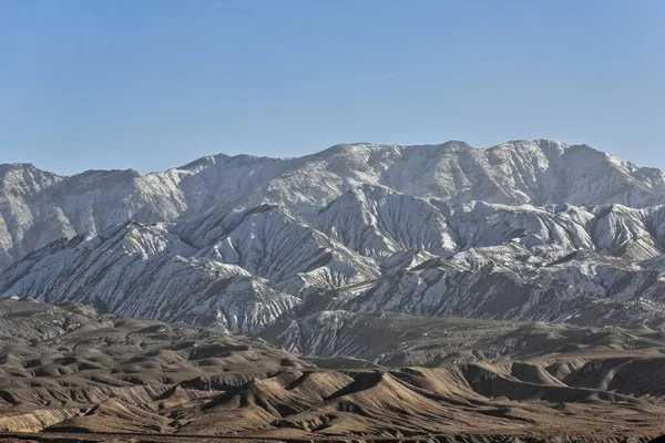
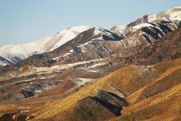
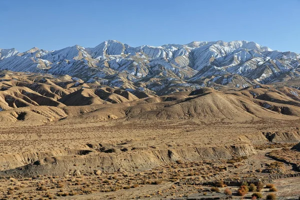
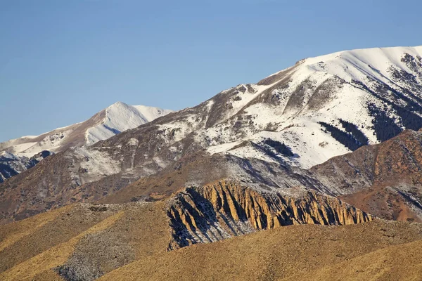
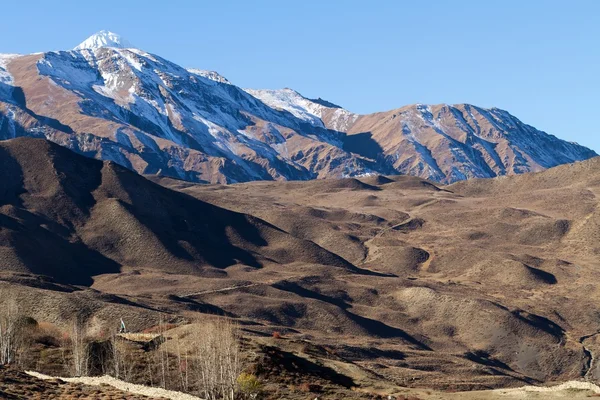
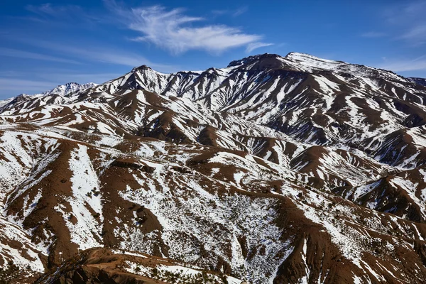
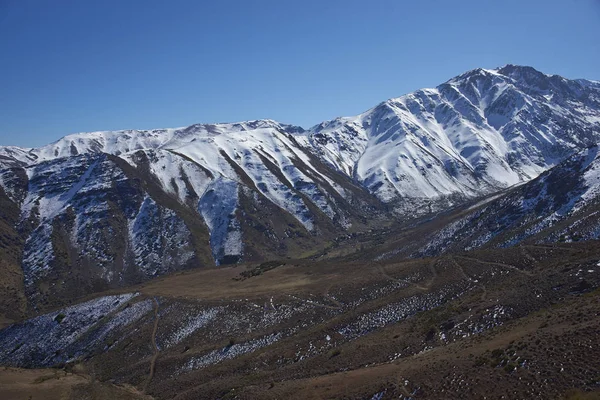
Stock image Southwards view from the Nnal.Highway G315 crossing the North Xorkol basin to the snowcovered Central Altyn tagh-mountains dividing the basin from the Main Xorkol basin to the south. Xinjiang-China.
Published:
Apr.23, 2020 14:50:50
Author:
rweisswald
Views:
7
Downloads:
0
File type:
image
/
jpg
File size:
14.18 MB
Orginal size:
5100
x
3400
px
Available sizes:
S
(500 x 333)
M
(1000 x 667)
L
(2000 x 1333)
XL
(5100 x 3400)
EL0
(5100 x 3400)
Level:
bronze
Download Image
Image topics:
Grass
Drop
Mountain
Range
Rock
Dry
China
Sand
Pinnacle
Descent
Slope
Flank
Snowy
Hill
Ridge
Crest
Desert
Sandy
Summit
Sandstone
Ravine
Decline
Arid
Eroded
Erosion
Hillock
Mound
Weathering
Gulch
Snow Covered
Snow Capped
Clear Blue Sky
Endorheic Basin
Kunlun
Scant Vegetation
Xinjiang Uyghur Autonomous Region
Nan Shan
Intermontane Valley
Brook Valley
Salt Outcrop
Ruoqiang County
Rugged Peak
Altyn Tagh
Astyn Tagh
National Highway G315
Kuen Lun
Similar stock images
Southwards View From The Nnal.Highway G315 Crossing The North Xorkol Basin To The Snowcovered Central Altyn Tag-mountains Dividing The Basin From The Main Xorkol Basin To The South. Xinjiang-China.
5100 × 3400
Kungoy Ala-Too Ridge. Kyrgyzstan
4368 × 2912
Southwards View From The Nnal.Highway G315 Crossing The North Xorkol Basin To The Snowcovered Central Altyn Tagh-mountains Dividing The Basin From The Main Xorkol Basin To The South. Xinjiang-China.
5100 × 3400
Kungoy Ala-Too Ridge. Kyrgyzstan
4368 × 2912
Annapurna Mountains
2400 × 1600
PEROU
5616 × 3744
Morocco, High Atlas Mountains. Peak Covered By Snow.
6000 × 4000
Hiking In Yerba Loca
6000 × 4000