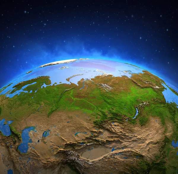
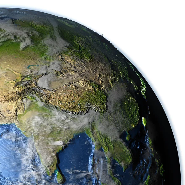
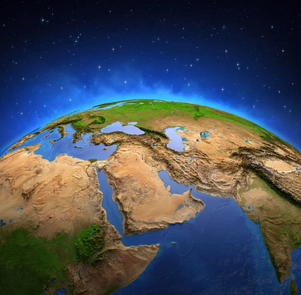
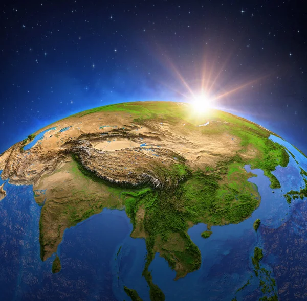
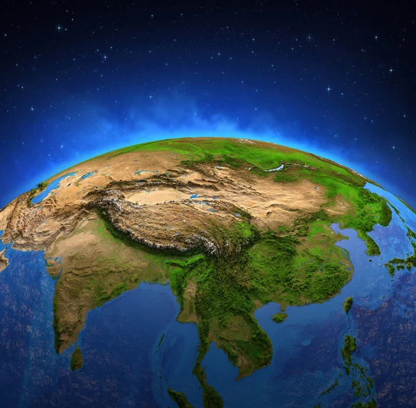
Stock image Surface of Planet Earth viewed from a satellite, focused on East Asia. Physical map of China and Mongolia. 3D illustration - Elements of this image furnished by NASA.
Published: Oct.27, 2020 19:46:45
Author: titoOnz
Views: 13
Downloads: 0
File type: image / jpg
File size: 16.32 MB
Orginal size: 7300 x 7173 px
Available sizes:
Level: silver