Home
Images
Vectors
Videos
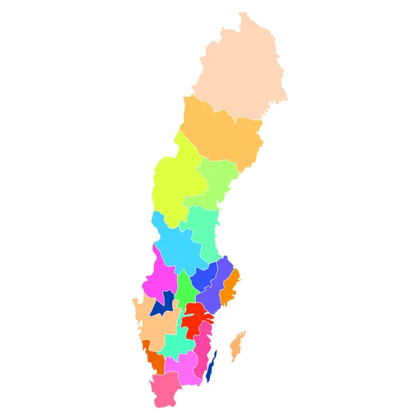
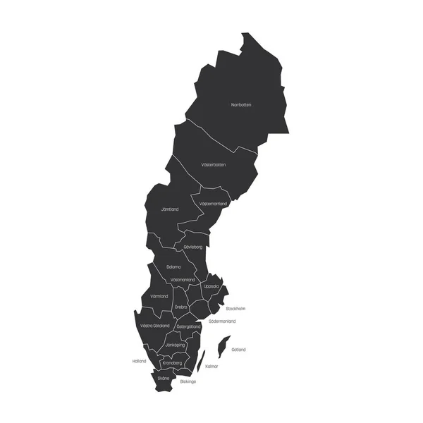
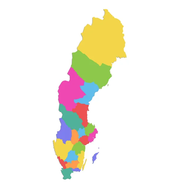
Stock image Sweden map, administrative division with names, colors map isolated on white background blank
Published:
Nov.24, 2020 08:56:22
Author:
Mondi.h
Views:
3
Downloads:
0
File type:
image
/
jpg
File size:
0.61 MB
Orginal size:
4000
x
4283
px
Available sizes:
S
(467 x 500)
M
(934 x 1000)
L
(1868 x 2000)
XL
(4000 x 4283)
EL0
(4000 x 4283)
Level:
bronze
Download Image
Image topics:
Green
Color
Red
Colors
Background
Colorful
Graphic
Colored
Illustration
Design
Isolated
Travel
Orange
European
Silhouette
Border
Blank
Contour
Earth
World
Tourism
Stockholm
Sweden
Europe
Raster
Individual
Outline
Country
Map
Cartography
Geography
Area
Continent
State
Separate
Political
Administrative
Union
Region
Division
Territory
Atlas
Swedish
Province
Gotland
White Background
Isolated On White
Sweden Map
Wall Map
Region Map
Similar stock images
Sweden Map Colorful Country Icon
4521 × 4521
Abstract Country Map
5315 × 5315
Counties Of Sweden. Map Of Regional Country Administrative Divisions. Colorful Vector Illustration
6000 × 6000
Sweden Map, Administrative Division With Names, Blue White Card Paper 3D Blank
4000 × 4000
Sweeden
4520 × 4520
Sweden Map. Black Silhouette Country Map Isolated On White Background. Black Outline On White Background. Vector File
7702 × 8038
Sweden Illustration Country Map
4000 × 4000
Sweden Map
3185 × 4782