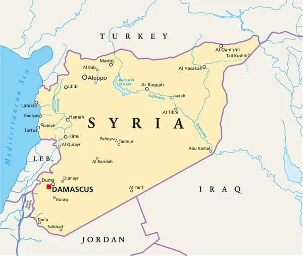
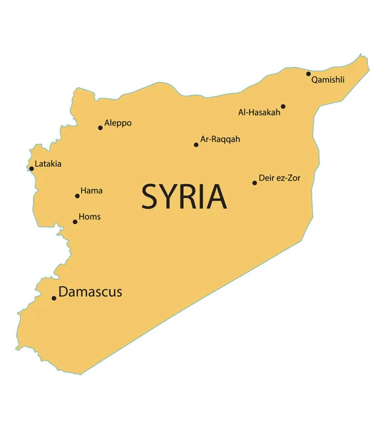
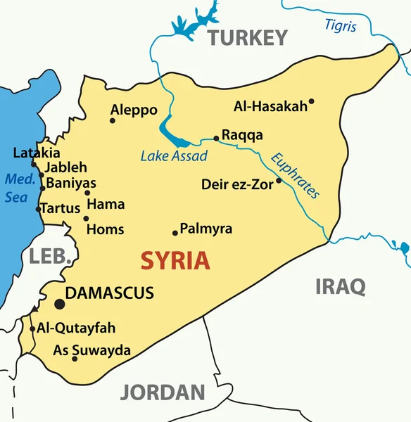
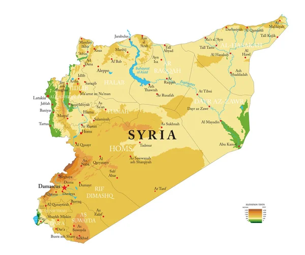
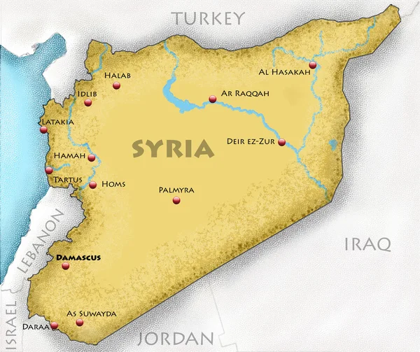
Stock image Syria map, rivers, roads and cities. Hand drawn map. Middle east cartography
Published: Aug.19, 2020 13:06:14
Author: vampy1
Views: 1
Downloads: 0
File type: image / jpg
File size: 1.81 MB
Orginal size: 3278 x 3000 px
Available sizes:
Level: silver