Home
Images
Vectors
Videos
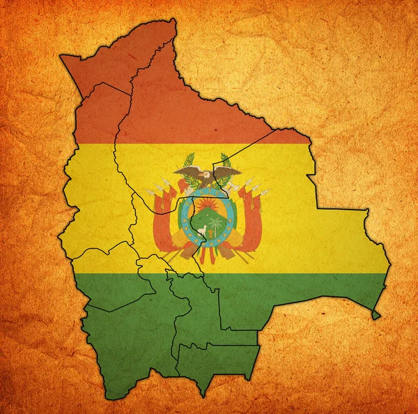
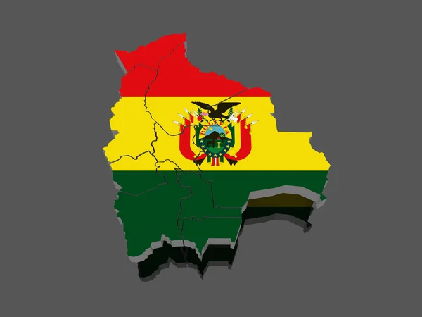
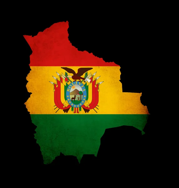
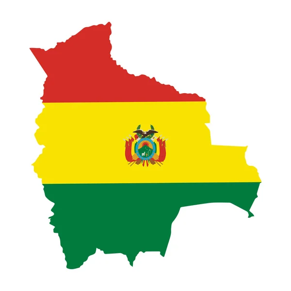
Stock image territories and flag of regions on map with administrative divisions and borders of Bolivia with clipping path
Published:
Mar.31, 2020 17:19:29
Author:
michal812
Views:
1
Downloads:
0
File type:
image
/
jpg
File size:
7.87 MB
Orginal size:
4576
x
4531
px
Available sizes:
S
(500 x 495)
M
(1000 x 990)
L
(2000 x 1980)
XL
(4576 x 4531)
EL0
(4576 x 4531)
Level:
bronze
Download Image
Image topics:
Blue
Isolated
Path
Border
Vintage
Flag
Symbol
District
Map
Cartography
Geography
Emblem
Political
Administrative
Region
Division
Province
County
Municipality
Bolivia
Clipping Path
Coat Of Arms
Similar stock images
Territories And Flag Of Regions On Map With Administrative Divisions And Borders Of Bolivia With Clipping Path
4576 × 4531
A Bolivia Flag Map On White Background 3d Illustration With Clipping Path
7000 × 7000
Map Of Bolivia
3900 × 3900
Map Of Bolivia
4800 × 3600
Outline Map Of Bolivia With Grunge Flag Insert Isolated On Black
2500 × 2614
Bolivia Is A Country In Central South America Amazon Basin Rainforest Vector Illustration
5000 × 5000
Outline Silhouette Map Of The South American Country Of Bolivia Set With The National Flag
7602 × 8500
Bolivia Flag Country Contour Vector Icon
5669 × 5669