Home
Images
Vectors
Videos
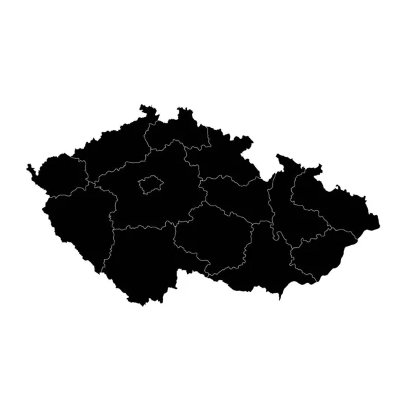
Stock image territories of regions on map with administrative divisions and borders of Czech Republic with clipping path
Published:
Mar.03, 2020 15:15:55
Author:
michal812
Views:
16
Downloads:
2
File type:
image
/
jpg
File size:
0.73 MB
Orginal size:
4576
x
4531
px
Available sizes:
S
(500 x 495)
M
(1000 x 990)
L
(2000 x 1980)
XL
(4576 x 4531)
EL0
(4576 x 4531)
Level:
bronze
Download Image
Image topics:
Blue
Isolated
Path
Border
Vintage
Symbol
District
Map
Cartography
Geography
Emblem
Political
Administrative
Region
Division
Province
County
Municipality
Czech Republic
Clipping Path
Coat Of Arms
Similar stock images
Outline Map Of Lithuania White Background. Vector Map With Contour.
4000 × 4000
Ukraine Map With Provinces. Vector Illustration.
8334 × 8334
Vector Map Czech Republic. Isolated Vector Illustration. Black On White Background. EPS 10 Illustration.
5000 × 5000
Czech Republic Map With Regions. Vector Illustration.
8334 × 8334
Simple Map Of Metropolitan Region Of Sao Paulo In Black And Gray Lines
6043 × 4376
Black Location Map Of Czech Region Of South Moravia Within Grey Map Of Czech Republic
4800 × 3600
Ukraine Map Icon, Geography Blank Concept, Isolated Graphic Background Vector Illustration .
4096 × 4096
Black Location Map Of Czech Region Of Zlin Within Grey Map Of Czech Republic
4800 × 3600