Home
Images
Vectors
Videos
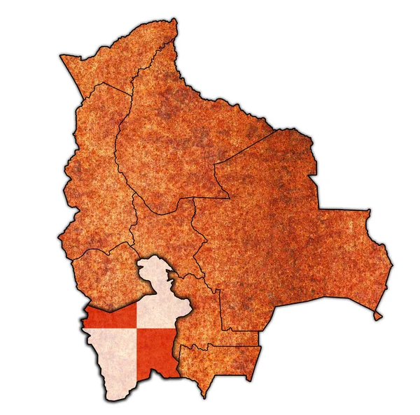
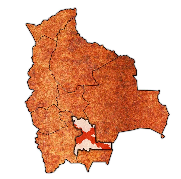
Stock image territory and flag of Chuquisaca region on map with administrative divisions and borders of Bolivia with clipping path
Published:
Mar.31, 2020 17:19:35
Author:
michal812
Views:
3
Downloads:
0
File type:
image
/
jpg
File size:
11.54 MB
Orginal size:
4576
x
4531
px
Available sizes:
S
(500 x 495)
M
(1000 x 990)
L
(2000 x 1980)
XL
(4576 x 4531)
EL0
(4576 x 4531)
Level:
bronze
Download Image
Image topics:
Blue
Isolated
Path
Border
Vintage
Flag
Symbol
District
Map
Cartography
Geography
Emblem
Political
Administrative
Region
Division
Province
County
Municipality
Bolivia
Clipping Path
Coat Of Arms
Chuquisaca
Similar stock images
Territory And Flag Of Oruro Region On Map With Administrative Divisions And Borders Of Bolivia With Clipping Path
4576 × 4531
Territory And Flag Of Cochabamba Region On Map With Administrative Divisions And Borders Of Bolivia With Clipping Path
4576 × 4531
Territory And Flag Of Tarija Region On Map With Administrative Divisions And Borders Of Czech Republic With Clipping Path
4576 × 4531
Territories Of Regions On Map With Administrative Divisions And Borders Of Bolivia With Clipping Path
4576 × 4531
Territory And Flag Of La Paz Region On Map With Administrative Divisions And Borders Of Bolivia With Clipping Path
4576 × 4531
Territory And Flag Of Beni Region On Map With Administrative Divisions And Borders Of Bolivia With Clipping Path
4576 × 4531
Territory And Flag Of Potosi Region On Map With Administrative Divisions And Borders Of Bolivia With Clipping Path
4576 × 4531
Territory And Flag Of Pando Region On Map With Administrative Divisions And Borders Of Bolivia With Clipping Path
4576 × 4531