Home
Images
Vectors
Videos
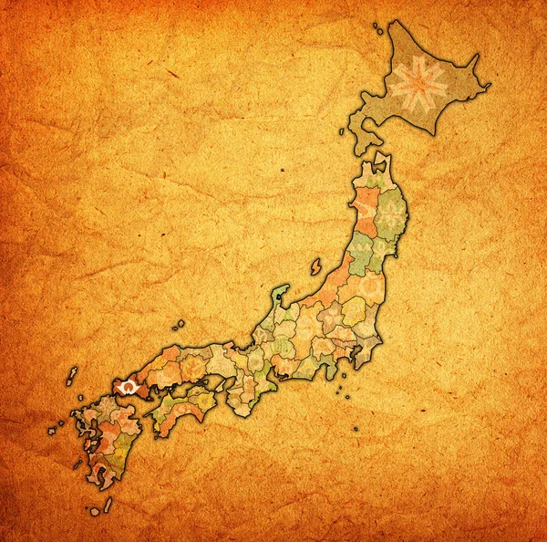
Stock image territory of japan prefectures on old map with administrative divisions and their flags
Published:
Jul.09, 2018 08:31:20
Author:
michal812
Views:
5
Downloads:
0
File type:
image
/
jpg
File size:
7.45 MB
Orginal size:
4576
x
4531
px
Available sizes:
S
(500 x 495)
M
(1000 x 990)
L
(2000 x 1980)
XL
(4576 x 4531)
EL0
(4576 x 4531)
Level:
bronze
Download Image
Image topics:
Blue
Isolated
Border
Vintage
Flag
Symbol
District
Map
Cartography
Geography
Japan
Emblem
Political
Administrative
Region
Division
Prefecture
Fu
Province
Municipality
Nippon
Hokkaido
Honshu
Kyushu
Shikoku
Jurisdiction
Coat Of Arms
Similar stock images
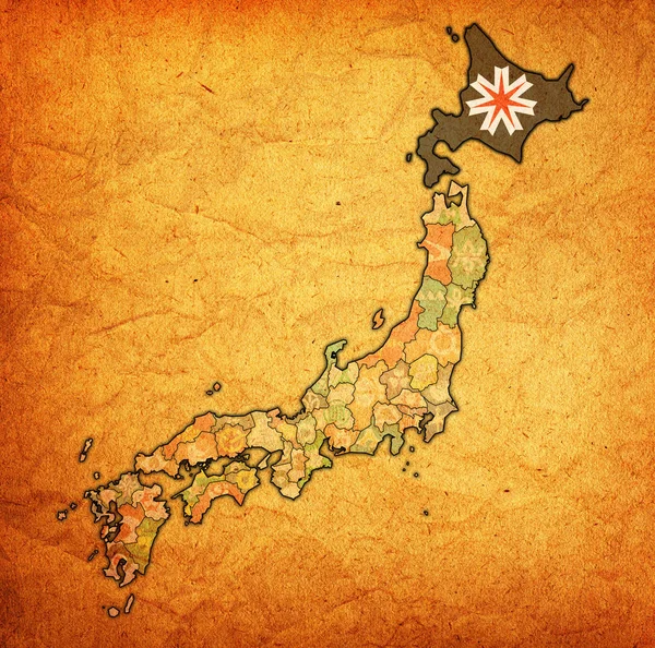
Hokkaido Flag Of Troms Prefecture On Map With Administrative Divisions And Borders Of Japan
4576 × 4531
Territory Of Japan Prefectures On Old Vintage Map With Administrative Divisions And Their Flags
4576 × 4531
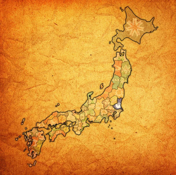
Ibaraki Flag Of Troms Prefecture On Map With Administrative Divisions And Borders Of Japan
4576 × 4531
Flag Of Osaka Prefecture On Map With Administrative Divisions And Borders Of Japan
4576 × 4531
Coronavirus Map Japan, Pandemic, Epidemic Virus Covid-19 Disease
3983 × 2662
Flag Of Yamaguchi Prefecture On Map With Administrative Divisions And Borders Of Japan
4576 × 4531
Hiroshima Flag Of Troms Prefecture On Map With Administrative Divisions And Borders Of Japan
4576 × 4531
Kyoto Flag Of Troms Prefecture On Map With Administrative Divisions And Borders Of Japan
4576 × 4531