Home
Images
Vectors
Videos
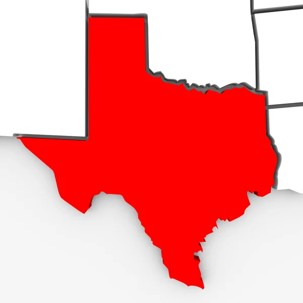
Stock image Texas Sate Map - 3d Illustration
Published:
Dec.10, 2010 15:37:38
Author:
iqoncept
Views:
632
Downloads:
3
File type:
image
/
jpg
File size:
1.7 MB
Orginal size:
4096
x
4096
px
Available sizes:
S
(500 x 500)
M
(1000 x 1000)
L
(2000 x 2000)
XL
(4096 x 4096)
EL0
(4096 x 4096)
Level:
gold
Download Image
Image topics:
Color
Red
White
Background
Render
Close Up
Illustration
Design
Isolated
Closeup
Abstract
3d
Contour
Us
Usa
Relief
South
Illustrated
Outline
Map
Geography
State
Texas
Rendered
Borders
Boundary
Of
The
Southern
A
Atlas
Mapping
Sate
U S A
United States
Lone Star State
Similar stock images
Accurate Map Of Texas
5000 × 4000
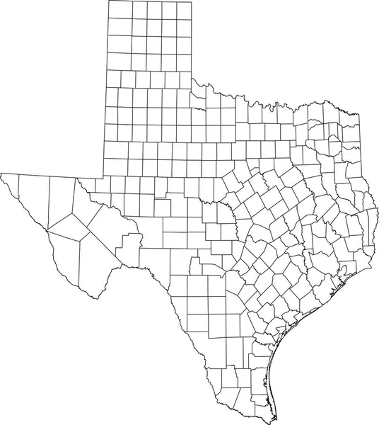
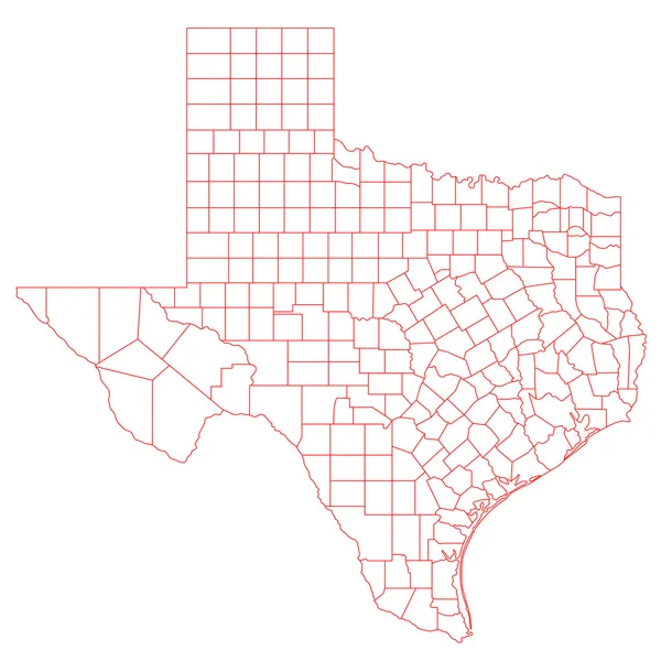
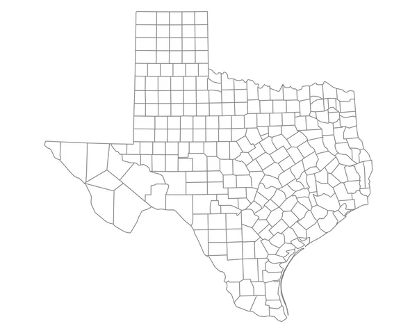
White Blank Vector Administrative Map Of The Federal State Of Texas, USA With Black Borders Of Its Counties
4656 × 5206
Political Map Of United States With The Several States Where Louisiana Is Highlighted.
6339 × 4055
Texas Map Shape, United States Of America. Flat Concept Icon Symbol Vector Illustration .
4096 × 4096
Map Of Camp In Texas
5000 × 4000
Texas Map
6000 × 6000
Accurate Map Of Texas
5000 × 4000