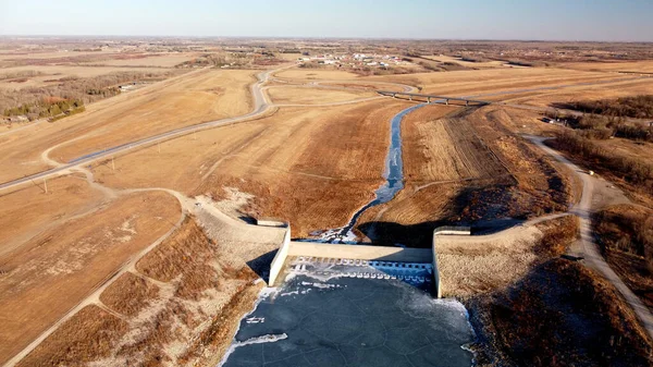
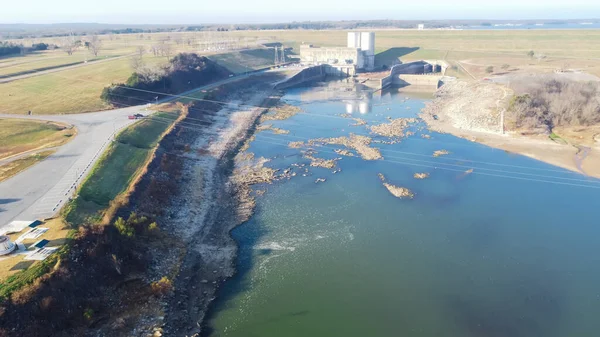
Stock image Texas side of Denison Dam with hydroelectric turbine powerhouse. Aerial view rock-protected upstream slope, earth-filled embankment Lake Texoma Dam on Red River between Texas and Oklahoma
Published: Dec.28, 2021 08:29:12
Author: trongnguyen
Views: 1
Downloads: 1
File type: image / jpg
File size: 5.54 MB
Orginal size: 4000 x 2250 px
Available sizes:
Level: bronze