Home
Images
Vectors
Videos
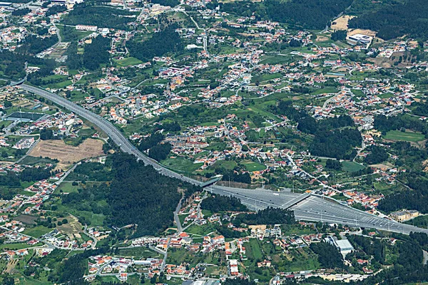
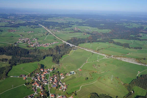
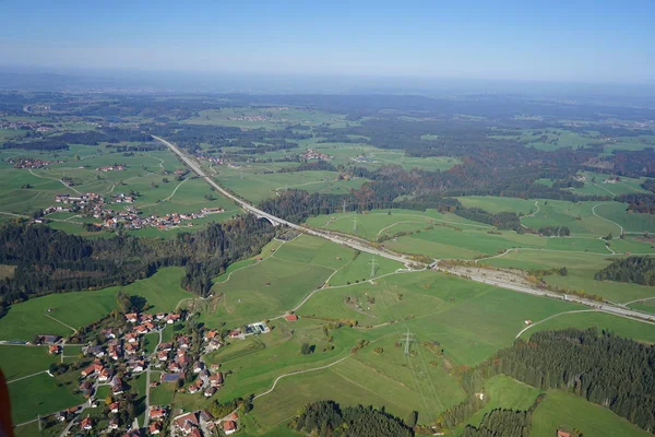
Stock image The final approach point (FAP) is located about 11.4 nautical miles from the airport, the aircraft must be fully configured for landing.
Published:
May.11, 2021 12:24:09
Author:
Wirestock
Views:
0
Downloads:
0
File type:
image
/
jpg
File size:
7.25 MB
Orginal size:
2592
x
1936
px
Available sizes:
S
(500 x 373)
M
(1000 x 747)
L
(2000 x 1494)
XL
(2592 x 1936)
EL0
(2592 x 1936)
Level:
platinum
Download Image
Image topics:
Green
Colors
Colorful
Flying
City
Wing
Houses
Aircraft
Highways
Approach
Towns
Aerial View
Similar stock images
Aerial Of Landscape Near Porto With Highway Toll Booth In Portugal
6005 × 4003
Aerial View Of Landscape In The Allgu Between Kempten And Fssen.
6000 × 4000
Istanbul Aerial View
4200 × 2788
Panoramic Puerto Real
11503 × 2835
The Urban Aerial View
3745 × 2507
Aerial View Of Landscape In The Allgu Between Kempten And Fssen.
6000 × 4000
Maranello,italy March 17 1980:Maranello Airplane Forecast Of The Ferrari Track In The 80s
5628 × 3827