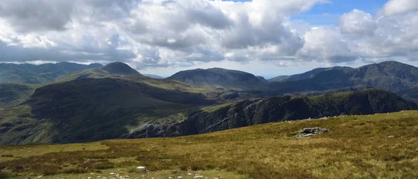
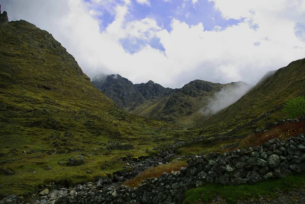
Stock image The high level corridor route

Published: Sep.16, 2019 13:51:22
Author: drewrawcliffe
Views: 0
Downloads: 0
File type: image / jpg
File size: 16.93 MB
Orginal size: 7360 x 3122 px
Available sizes:
Level: silver