Home
Images
Vectors
Videos
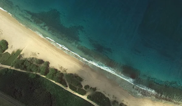
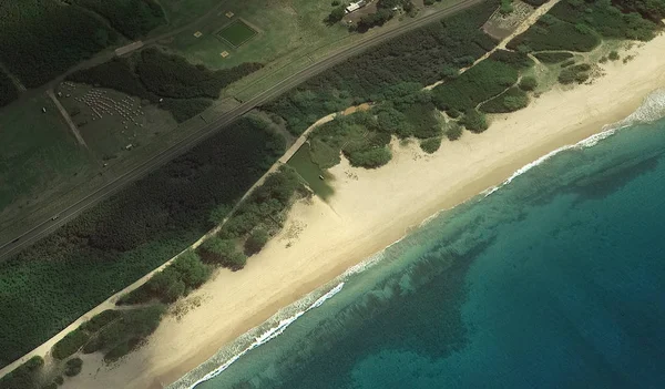
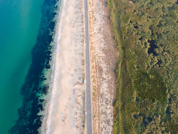
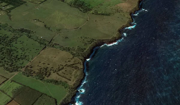
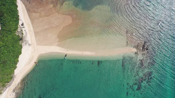
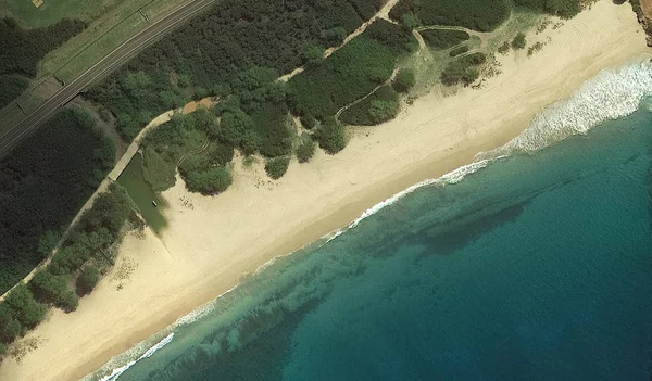
Stock image the Pacific ocean, Honolulu Hawaii United States with the altitude of the drone
Published:
Sep.12, 2019 11:08:30
Author:
PPicasso
Views:
4
Downloads:
0
File type:
image
/
jpg
File size:
4.21 MB
Orginal size:
3230
x
1894
px
Available sizes:
S
(500 x 293)
M
(1000 x 586)
L
(2000 x 1173)
XL
(3230 x 1894)
EL0
(3230 x 1894)
Level:
beginner
Download Image
Image topics:
Pool
Palm
Summer
Water
Sea
Current
Industrial
Weather
Roof
Surfing
Heat
Clouds
Usa
Bay
Beach
Ocean
Highway
Capital
Shade
Recreation
Sand
Hill
Base
Bottom
Map
Hawaii
Surf
Land
Flight
Infrastructure
Villa
Terrain
Island
Satellite
Hotels
Oahu
Sunbed
Waikiki
Honolulu
Real Estate
Pacific Ocean
Pearl Harbor
Quadcopter
Kailua Kona
Similar stock images
The Pacific Ocean, Honolulu Hawaii United States With The Altitude Of The Drone
3230 × 1894
The Pacific Ocean, Honolulu Hawaii United States With The Altitude Of The Drone
3230 × 1894
Aerial View Of The Driver Beach (Alepu) Near Resort Of Dyuni, Burgas Region, Bulgaria
4000 × 3000
Cape Nepean, Mornington Peninsula, Victoria, Australia
3716 × 2057
Coast, Streets And Infrastructure Of Bretigny-sur-Orge From A Bird's Eye View 2019
3230 × 1894
The Relief Of The Coast Of The Island Of Miami USA From A Bird's Eye View
3226 × 1897
Aerial Views Of Beautiful Island Hon Ca Chep Near To Co To Island Vietnam
5472 × 3078
The Pacific Ocean, Honolulu Hawaii United States With The Altitude Of The Drone
3230 × 1894