Home
Images
Vectors
Videos
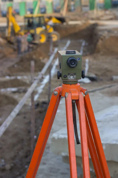
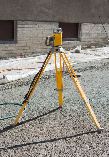
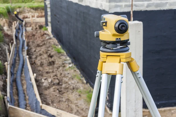
Stock image The road engineer uses the laser level to determine the required angle of inclination of the road section under construction.
Published:
Apr.08, 2020 13:19:11
Author:
photosergii@gmail.com
Views:
1
Downloads:
0
File type:
image
/
jpg
File size:
36.76 MB
Orginal size:
5792
x
8688
px
Available sizes:
S
(333 x 500)
M
(667 x 1000)
L
(1333 x 2000)
XL
(5792 x 8688)
EL0
(5792 x 8688)
Level:
beginner
Download Image
Image topics:
Background
Equipment
Outdoors
Man
Industrial
Technology
Road
Instrument
Construction
Industry
Electronic
Measuring
Occupation
Professional
Tool
Optical
Stand
Reading
Looking
Precision
Engineering
Compass
Land
Ground
Station
Level
Worker
Builder
Control
Measurements
Engineer
Contractor
Laser
Tripod
Total
Surveyor
Workman
Inspection
Angles
Traversing
Supervisor
Uses
Topographic
Surveying
Geodesy
Theodolite
Distance Measurement
Reading Systems
Transit Survey
Alat Survey
Similar stock images
Theodolite On Site
3888 × 2592
Surveying Equipment To Infrastructure Construction Project
4288 × 2848
Vintage Theodolit Close Up
3179 × 4769
Geodetic Device On The Construction Site.
2633 × 3799
Surveyor Equipment Level Outdoors At Construction Site
6050 × 4038
Surveyor Equipment Level At Construction Site
6050 × 4038
Surveyor Engineers Working With Theodolite On Road Construction Site
3000 × 4500
Surveyor Equipment Optical Level At Construction Site
4752 × 3168