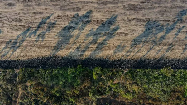
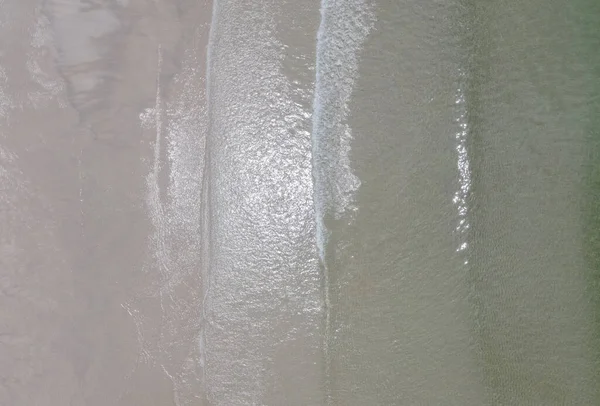
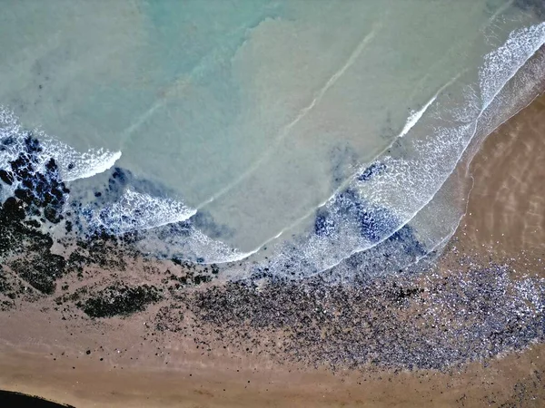
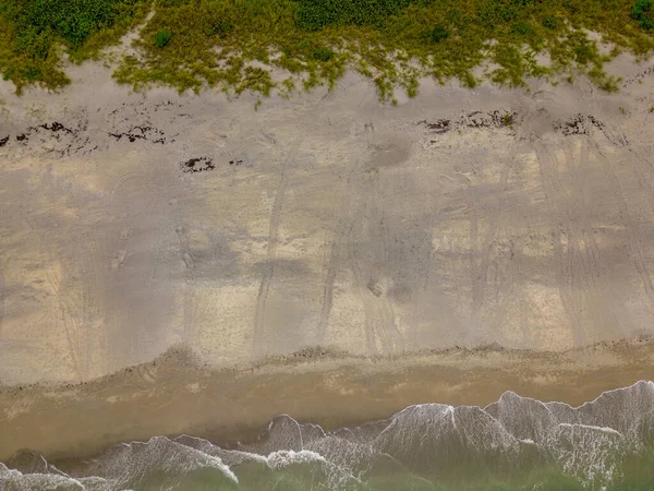
Stock image The Sematan Beach and Coastline of the most southern part of Sarawak and Borneo Island

Published: Jan.14, 2021 13:47:54
Author: juliuscwt
Views: 0
Downloads: 0
File type: image / jpg
File size: 5.5 MB
Orginal size: 4000 x 3000 px
Available sizes:
Level: beginner
Similar stock images
Turtle Nesting Season Florida Loggerhead Tracks On The Sand Summer Solstice 2023 Aerial Photo
4032 × 3024