Home
Images
Vectors
Videos
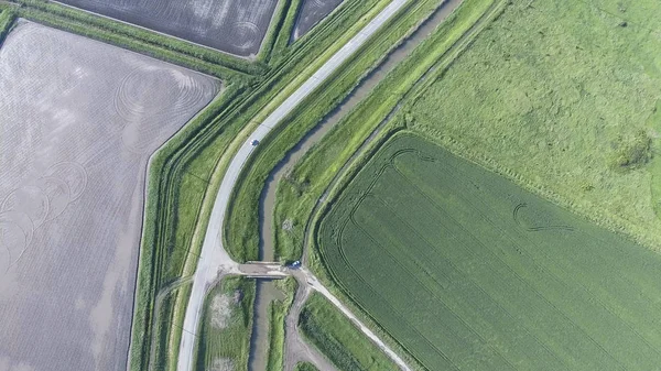
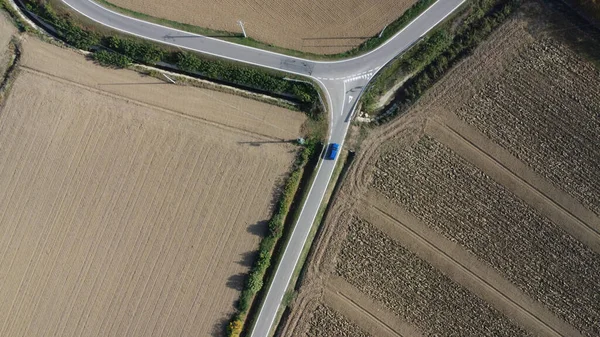
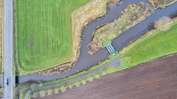
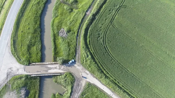
Stock image The top view of the wheat field and the channel of the irrigation system. Shooting from a drone
Published:
Jul.06, 2018 08:46:26
Author:
Leonid_Eremeychuk
Views:
4
Downloads:
0
File type:
image
/
jpg
File size:
7.38 MB
Orginal size:
3840
x
2160
px
Available sizes:
S
(500 x 281)
M
(1000 x 563)
L
(2000 x 1125)
XL
(3840 x 2160)
EL0
(3840 x 2160)
Level:
bronze
Download Image
Image topics:
Green
Background
View
Season
Summer
Grass
Meadow
Outdoors
Field
Nature
Plant
Rural
Air
Brown
Pattern
Botany
Cloud
Crop
Road
Harvest
Bridge
Landscape
Farm
Agriculture
Countryside
Cultivate
Wheat
Earth
Dirt
Farming
Agricultural
Soil
Country
Farmland
Land
Ground
Pasture
Fields
Canal
Tuscany
Crops
Tractor
Cultivation
Aerial
Springtime
Agronomy
Flooded
Plowed
Tilling
Drone
Similar stock images
The Top View Of The Wheat Field And The Channel Of The Irrigation System. Shooting From A Drone
3840 × 2160
The Top View Of The Wheat Field And The Channel Of The Irrigation System. Shooting From A Drone.
3840 × 2160
The Top View Of The Wheat Field And The Plowed Field Under Fig. Shooting From A Drone
3840 × 2160
The Top View Of The Wheat Field And The Plowed Field Under Fig. Shooting From A Drone
3840 × 2160
On The Road In The Countryside Durig November 2022
4000 × 2250
The Top View Of The Wheat Field And The Channel Of The Irrigation System. Shooting From A Drone
3840 × 2160
Crossroads Paved Roads Through The Fields. View From Above.
4000 × 3000
Top Down View, Shot With A Drone Of The Landscape With Road And Bridges Over The River Aa, Herentals, Belgium, Running Amongst The Farmfields
5432 × 3052