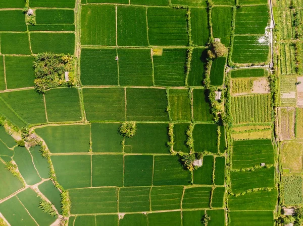
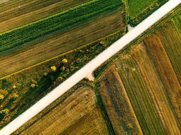
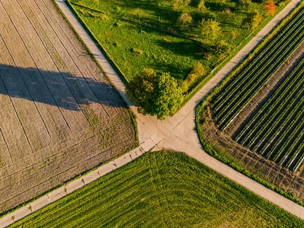
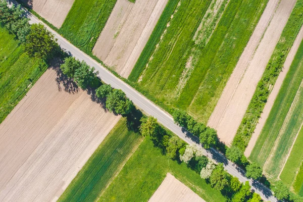
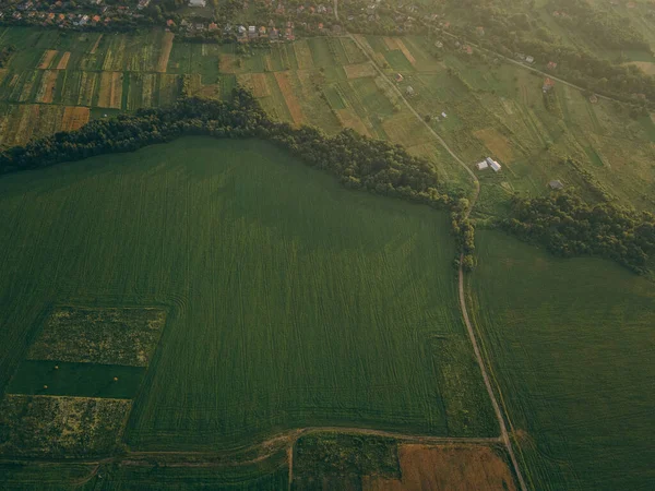
Stock image Top view, aerial photo from drone or aerostat to countryside with houses, roads, meadows and green fields

Published: Jun.19, 2018 08:11:29
Author: DedMityay
Views: 12
Downloads: 1
File type: image / jpg
File size: 6.67 MB
Orginal size: 3292 x 1852 px
Available sizes:
Level: bronze