Home
Images
Vectors
Videos
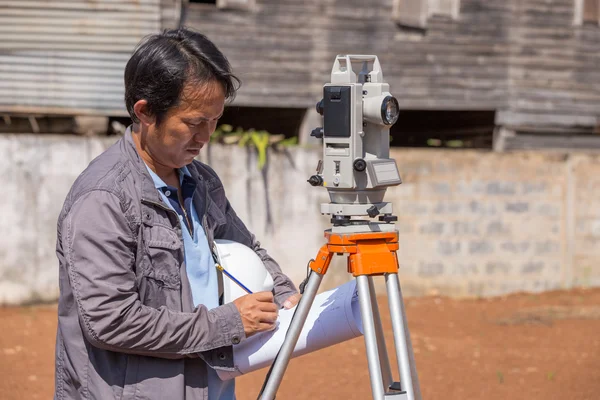
Stock image Topographic Terrain Measurement by a Professional Topographer
Published:
Jan.05, 2013 08:42:32
Author:
juvelez
Views:
334
Downloads:
1
File type:
image
/
jpg
File size:
10.37 MB
Orginal size:
3174
x
4739
px
Available sizes:
S
(335 x 500)
M
(670 x 1000)
L
(1340 x 2000)
XL
(3174 x 4739)
EL0
(3174 x 4739)
Level:
beginner
Download Image
Image topics:
Green
White
Brown
Man
Construction
With
Measuring
Measure
Professional
Measurement
Work
Optical
Mirror
Earth
Lens
Clouds
Precision
Land
Instruments
Value
Topography
Terrain
Jacket
Optics
Tripod
Geographic
Evaluation
A
Realty
Labor
Geologic
Neighbor
Fences
Topographic
His
Sextant
Frontiers
Topographer
Similar stock images
Engineers Use Tacheometer Or Theodolite For Survey Line Columns
5472 × 3648
Gardener Making Nursery Structure From The C Channel Steel In The Orchard.
4000 × 2667
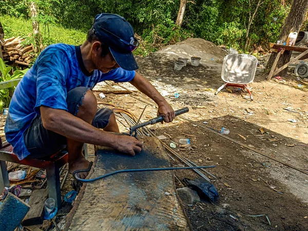
Bangkok - Thailand. 12 August 2020. Construction Worker Are Preparing Steel Poles For Building House.
4000 × 3000
Surveyor Or Engineer Making Measure By Theodolite And Prism Reflector With Partner In A Field.
3540 × 5320
Construction Site
5184 × 3456
Mexican Farmer Working The Land For Bean Cultivation
3648 × 5472
Worker With Eye Protection Using Grinder To Cut C Channel Steel, Tools For Industrial Work
2000 × 3000
Construction Workers Are Installing Steel Rods In Reinforced Concrete Beam
2848 × 4288