Home
Images
Vectors
Videos
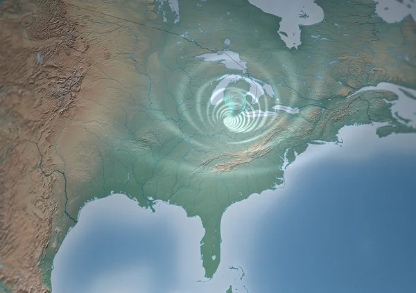
Stock image Tornado Usa map, threatens Mid-West
Published:
Nov.19, 2013 10:08:29
Author:
vampy1
Views:
259
Downloads:
0
File type:
image
/
jpg
File size:
7.25 MB
Orginal size:
4724
x
3333
px
Available sizes:
S
(500 x 353)
M
(1000 x 706)
L
(2000 x 1411)
XL
(4724 x 3333)
EL0
(4724 x 3333)
Level:
silver
Download Image
Image topics:
View
Speed
Heavy
Motion
Usa
Map
Alarm
Fear
Disaster
Physics
America
Satellite
Pounce
Affect
Indiana
Winds
Tornado
Coasts
Illinois
Disasters
Ohio
Mid West
United States
Atlantic Ocean
Similar stock images
Graphic Representation Of Winds On The Surface Over The Atlantic Ocean And North America. Elements Of This Image Furnished By NASA
3840 × 2160
Tornado Usa Map, Threatens Mid-West
4724 × 3333
West Coast Of Canada On Realistic Model Of Earth
5000 × 3750
East Coast Of USA On Planet Earth
5000 × 3750
Extremely Detailed And Realistic High Resolution 3D Illustration Of A Hurricane. Shot From Space. Elements Of This Image Are Furnished By Nasa.
10000 × 5000
Hurricane Matthew Approaching Florida
5000 × 3750
Forecast Weather Isobar On American Night Map, Meteorology Wind Fronts And Vector Temperature Diagram. USA Map For Weather Forecast With Pressure And Wind Charts, Synoptic Prediction Isobar
5477 × 5477
Hurricane Graphic With Digital Monitoring Analysis Graph As A Dangerous Natural Disaster Weather System Off An Ocean Coast In A 3D Illustration Style.
5376 × 3354