Home
Images
Vectors
Videos
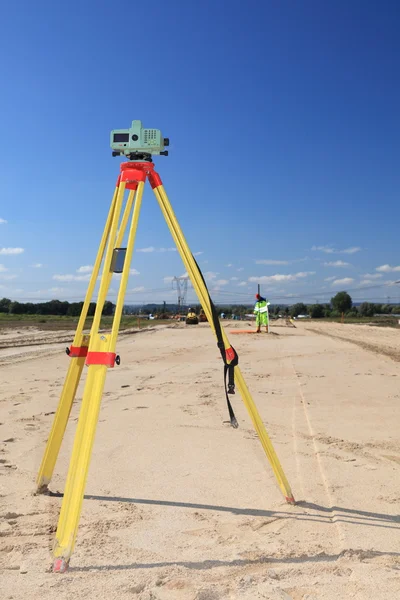
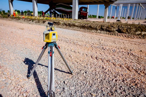
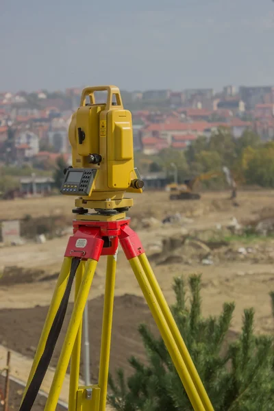
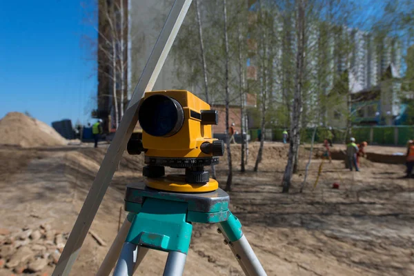
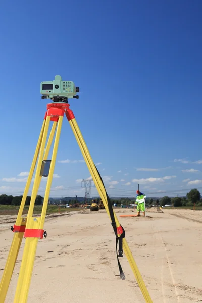
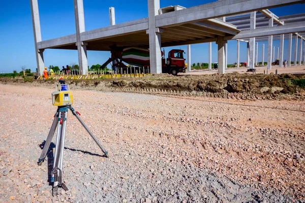
Stock image Total station, surveying
Published:
Apr.20, 2016 09:35:15
Author:
agafapaperiapunta@hotmail.es
Views:
54
Downloads:
0
File type:
image
/
jpg
File size:
9.23 MB
Orginal size:
3456
x
5184
px
Available sizes:
S
(333 x 500)
M
(667 x 1000)
L
(1333 x 2000)
XL
(3456 x 5184)
EL0
(3456 x 5184)
Level:
beginner
Download Image
Image topics:
Equipment
Technology
Position
Instrument
Accuracy
Building
Construction
Industry
Measuring
Examining
Measurement
Tool
Optical
Performance
Range
Elevation
Precision
Engineering
Site
Map
Cartography
Land
Station
Level
Worker
Builder
Engineer
Workplace
Topography
Laser
Tripod
Calculate
Investigation
Total
Positioning
Checking
Surveyor
Azimuth
Finder
Inspection
Mensuration
Surveying
Geodesy
Theodolite
Gaging
Tacheometer
Total Station
Similar stock images
AMSTERDAM, NETHERLANDS - Nov 04, 2021: A Vertical Shot Of The Most Accurate Total Station Ever Designed For Industrial Use
4000 × 6000
Geodesist Taking Measurement
3744 × 5616
Modern Device Makes Topographic Measurements With Laser, Total C
5184 × 3456
Total Station On Tripod
3456 × 5184
Precise Marking With A Level. Road Design, Courtyard Area. Construction Site. Production Of Apartments, Social Housing.
6016 × 4016
Geodesist Taking Measurement
2849 × 4274
Modern Device Makes Topographic Measurements With Laser, Total C
5184 × 3456
Drill Machines Works On Runaway
2500 × 1667