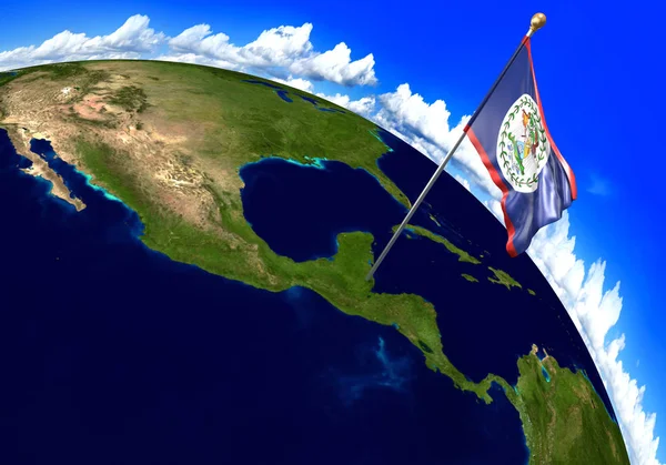
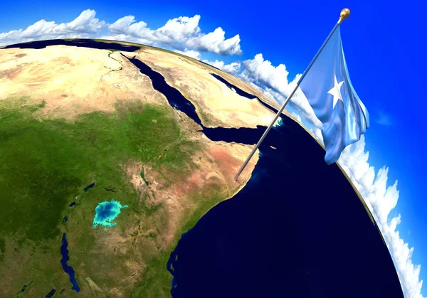
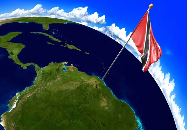
Stock image Trinidad and Tobago national flag marking the country location on world map
Published: Jul.24, 2017 08:47:38
Author: Kagenmi
Views: 40
Downloads: 0
File type: image / jpg
File size: 2.79 MB
Orginal size: 4000 x 2800 px
Available sizes:
Level: bronze