Home
Images
Vectors
Videos
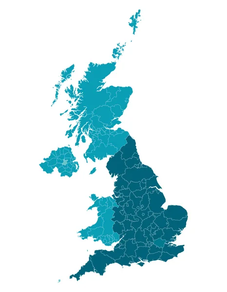
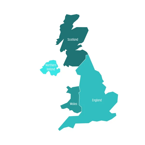
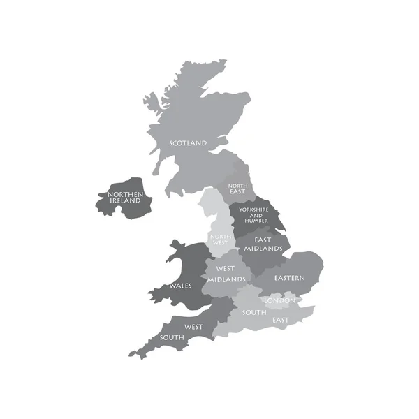
Stock image UK map regions
Published:
Nov.24, 2017 09:46:56
Author:
viktorijareut
Views:
57
Downloads:
0
File type:
image
/
jpg
File size:
0.52 MB
Orginal size:
4000
x
4000
px
Available sizes:
S
(500 x 500)
M
(1000 x 1000)
L
(2000 x 2000)
XL
(4000 x 4000)
EL0
(4000 x 4000)
Level:
silver
Download Image
Image topics:
White
Background
Graphic
Illustration
Design
Isolated
Travel
Detail
European
Silhouette
Border
Flag
Symbol
Icon
City
Contour
North
Northern
Europe
Raster
South
Outline
Country
Map
Cartography
Geography
National
Ireland
Uk
State
Great
Political
Administrative
Union
United
Kingdom
Britain
London
Region
Division
English
British
England
Atlas
Province
Wales
Nation
Scotland
County
Similar stock images
UK Map Regions
4000 × 4000
United Kingdom. Great Britan Map. Vector Map Isolated On White Background.
6000 × 6000
UNITED KINGDOM MAP With Big Cities, UK MAP With Borders On Grey Background
4167 × 5000
United Kingdom UK Regions Map Vector
5200 × 5200
Map Of United Kingdom
6000 × 7714
UK Map Dotted Vector Illustration
6250 × 9375
United Kingdom, UK, Of Great Britain And Northern Ireland Map. Divided To Four Countries - England, Wales, Scotland And NI. Simple Flat Vector Illustration
4000 × 4000
United Kingdom Map City Icon
4521 × 4526