Home
Images
Vectors
Videos
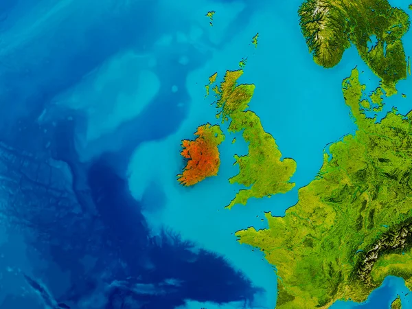
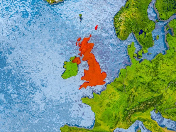
Stock image United Kingdom on physical map
Published:
May.05, 2017 16:50:33
Author:
tom.griger
Views:
0
Downloads:
0
File type:
image
/
jpg
File size:
10.46 MB
Orginal size:
5000
x
3750
px
Available sizes:
S
(500 x 375)
M
(1000 x 750)
L
(2000 x 1500)
XL
(5000 x 3750)
EL0
(5000 x 3750)
Level:
bronze
Download Image
Image topics:
Red
Illustration
Focus
Earth
Planet
Detailed
Europe
Globe
Map
Cartography
Geography
Uk
Orbit
Satellite
Britain
British
Highlighted
Great Britain
3d Render
United Kingdom
Similar stock images
Ireland On Physical Map
5000 × 3750
Close-up Of Atopographic Map Centered On United Kingdom
3840 × 2160
United Kingdom Zoomed And Neighborhood. Main Physical Landscape Features. 3D Rendering
2880 × 1620
Satellite View Of United Kingdom In Red
5000 × 3722
Close-up Of The United Kingdom Border Area On A Topographic Map. Capital Point. Bevelled Edges Of The Country Shape.
3840 × 2160
Map Of United Kingdom
5000 × 3750
Satellite View Of United Kingdom
5000 × 3750
Close-up Of The United Kingdom Border Area Highlighting With A Dark Overlay On A Topographic Map. Capital Point. Bevelled Edges Of The Country Shape.
3840 × 2160