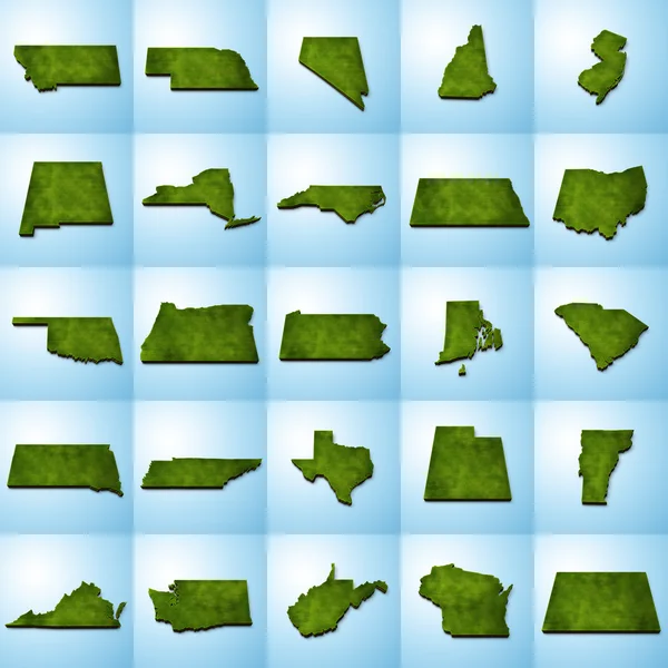
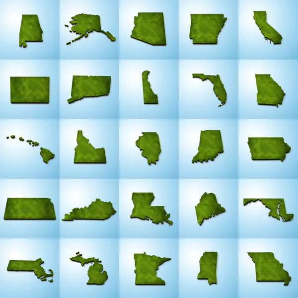
Stock image US State Maps Set I
Published: May.07, 2014 05:08:20
Author: Art1o1
Views: 169
Downloads: 7
File type: image / jpg
File size: 20.16 MB
Orginal size: 7500 x 7500 px
Available sizes:
Level: bronze