photo free
Home Images Vectors Videos

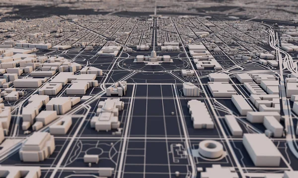
Stock image Washington DC city map 3D Rendering. Aerial satellite view.
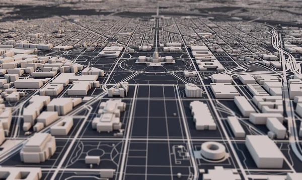
Stock image Washington DC city map 3D Rendering. Aerial satellite view.
Published: Apr.07, 2020 10:05:15
Author: InkDropCreative
Views: 4
Downloads: 0
File type: image / jpg
File size: 1.92 MB
Orginal size: 5000 x 3000 px
Available sizes:
S
(500 x 300)
M
(1000 x 600)
L
(2000 x 1200)
XL
(5000 x 3000)
EL0
(5000 x 3000)
Level: silver
Download Image
Image topics:

Similar stock images

stock image Washington DC city map 3D Rendering. Aerial satellite view.

Washington DC City Map 3D Rendering. Aerial Satellite View.

4975 × 2985
stock image Techno mega city; urban and futuristic technology concepts, original 3d rendering

Techno Mega City; Urban And Futuristic Technology Concepts, Original 3d Rendering

5760 × 3240
stock image Washington DC city map 3D Rendering. Aerial satellite view.

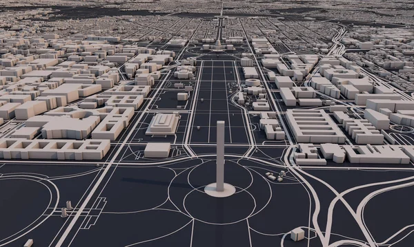
Washington DC City Map 3D Rendering. Aerial Satellite View.

5000 × 3000
stock image Techno mega city; urban and futuristic technology concepts, orig

Techno Mega City; Urban And Futuristic Technology Concepts, Orig

4000 × 2000
stock image 3D city of Tokyo, Japan. Downtown miniature. 3D rendering.

3D City Of Tokyo, Japan. Downtown Miniature. 3D Rendering.

6000 × 4000
stock image Techno mega city; urban and futuristic technology concepts, orig

Techno Mega City; Urban And Futuristic Technology Concepts, Orig

9000 × 3000
stock image Techno mega city; urban and futuristic technology concepts, original 3d rendering

Techno Mega City; Urban And Futuristic Technology Concepts, Original 3d Rendering

4000 × 2000