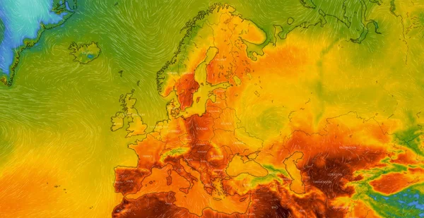
Stock image Weather forecast shown on map of Europe. illustration with city names, temperature data and weather condition icons

Published: Aug.12, 2024 08:13:48
Author: NewAfrica
Views: 0
Downloads: 0
File type: image / jpg
File size: 8.31 MB
Orginal size: 4849 x 3840 px
Available sizes:
Level: gold