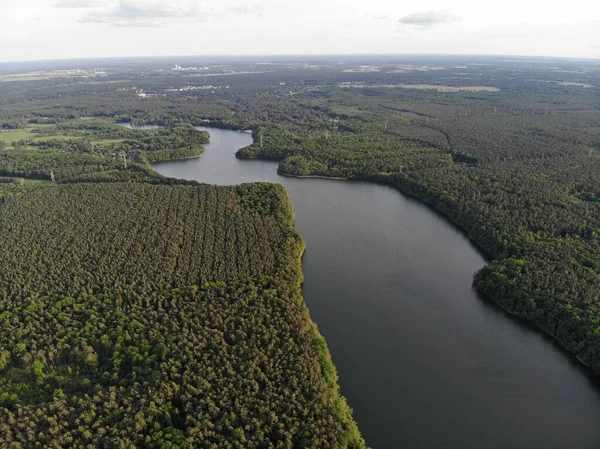
Stock image Winona is a Community in Southern Minnesota on the Mississippi River

Published: May.24, 2018 19:57:08
Author: jjbooma
Views: 13
Downloads: 0
File type: image / jpg
File size: 10.14 MB
Orginal size: 3875 x 2906 px
Available sizes:
Level: bronze