Home
Images
Vectors
Videos
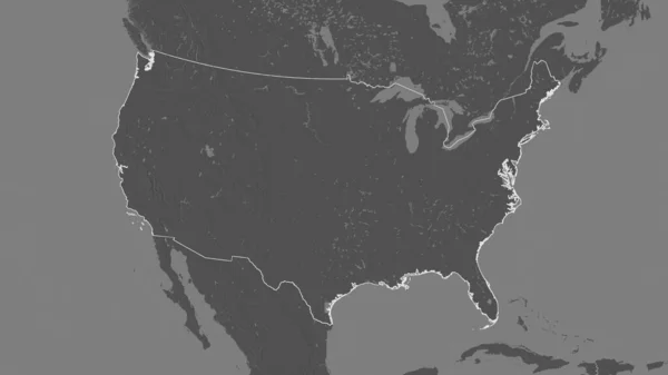
Stock image world map and continents: borders and states of America
Published:
Oct.31, 2014 15:10:28
Author:
Faithie
Views:
20
Downloads:
0
File type:
image
/
jpg
File size:
7.21 MB
Orginal size:
5184
x
3456
px
Available sizes:
S
(500 x 333)
M
(1000 x 667)
L
(2000 x 1333)
XL
(5184 x 3456)
EL0
(5184 x 3456)
Level:
silver
Download Image
Image topics:
Illustration
Shape
Business
Travel
Transportation
Border
Industry
Global
With
World
Usa
Tourism
Shipping
Profile
Country
Map
Cartography
Geography
Area
Flight
America
International
Borders
Explore
Of
Politics
Union
Destination
United
States
The
And
Organisation
Within
Similar stock images
USA Map With State Borders. Vector Illustration.
8334 × 8334
Black Thin Line Usa Map Contour. Education Infographic Element. Stroke Flat Style Design. Vector Illustration Isolated On White Background
6000 × 3164
A Simplified Map Of USA In The North America
5000 × 3200
Map Of USA - Simple Hand Drawn Sketch Style Black Line Outline Contour Map. Vector Illustration Isolated On White. American Country Border Silhouette Drawing.
4000 × 4000
USA 3D White Map
2476 × 2024
Map Of The United States Illustrated On Background
8000 × 7000
Outlined Shape Of The United States Area. Bilevel Elevation Map With Surface Waters. 3D Rendering
3840 × 2160
Isolated Object Of Middle And East Sign. Collection Of Middle And Country Stock Vector Illustration.
5000 × 5000