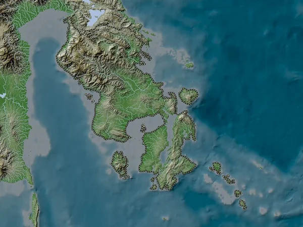
Stock image Zoom in on Phangnga (province of Thailand) outlined. Oblique perspective. Satellite imagery. 3D rendering

Published: Jul.10, 2020 14:02:34
Author: Yarr65
Views: 0
Downloads: 0
File type: image / jpg
File size: 1.9 MB
Orginal size: 3840 x 2160 px
Available sizes:
Level: bronze
Similar stock images

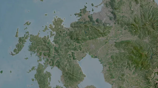
Zoom In On Phangnga (province Of Thailand) Extruded. Oblique Perspective. Satellite Imagery. 3D Rendering
3840 × 2160

Zoom In On Surat Thani (province Of Thailand) Outlined. Oblique Perspective. Satellite Imagery. 3D Rendering
3840 × 2160

Sarawak, State Of Malaysia. Satellite Imagery. Shape Outlined Against Its Country Area. 3D Rendering
2880 × 1620

Saga, Prefecture Of Japan. Satellite Imagery. Shape Outlined Against Its Country Area. 3D Rendering
2880 × 1620
Fukuoka, Prefecture Of Japan. Satellite Imagery. Shape Outlined Against Its Country Area. 3D Rendering
2880 × 1620