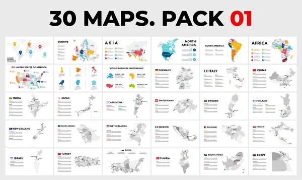
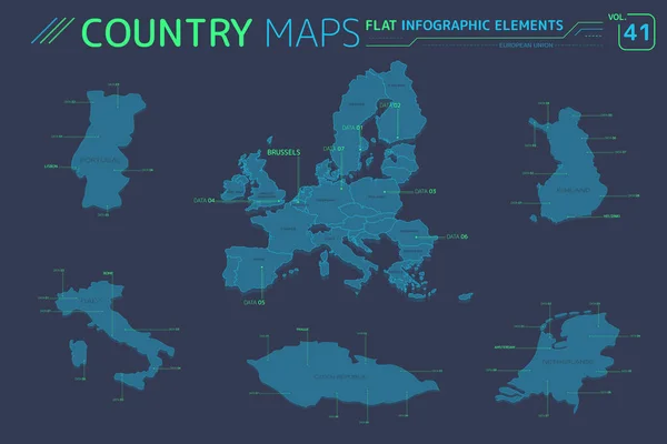
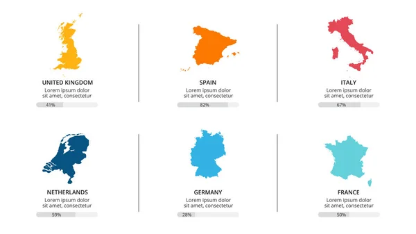
Stock vector 20 Maps. Europe. Vector map infographic templates. Pack 2. Slide presentation. All countries divided into regions. Included flags and tag labels.

Published: Nov.18, 2020 12:02:52
Author: theseamuss
Views: 107
Downloads: 3
File type: vector / eps
File size: 19.27 MB
Orginal size: 6661 x 3744 px
Available sizes:
Level: silver