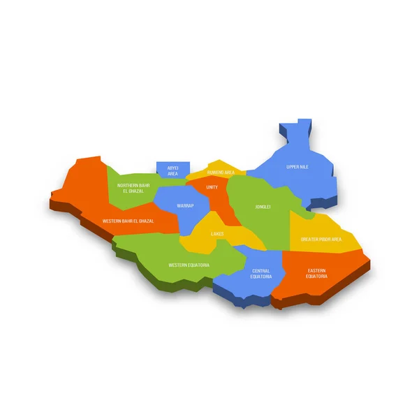
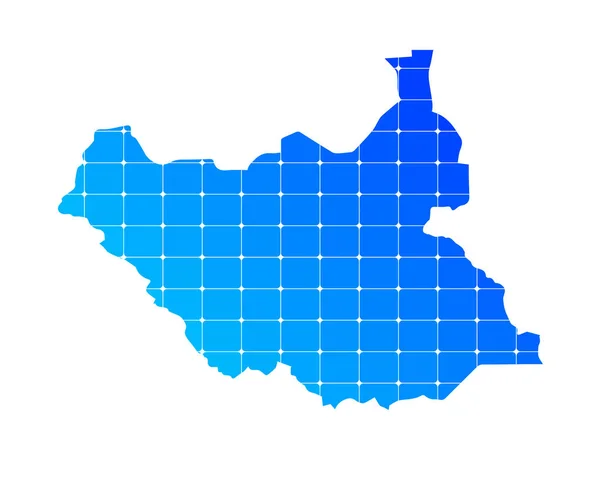
Stock vector 3d isometric colored map of South Sudan with borders of regions

Published: Sep.06, 2024 21:26:56
Author: grebeshkovmaxim@gmail.com
Views: 0
Downloads: 0
File type: vector / eps
File size: 12.43 MB
Orginal size: 4000 x 4000 px
Available sizes:
Level: silver