Home
Images
Vectors
Videos
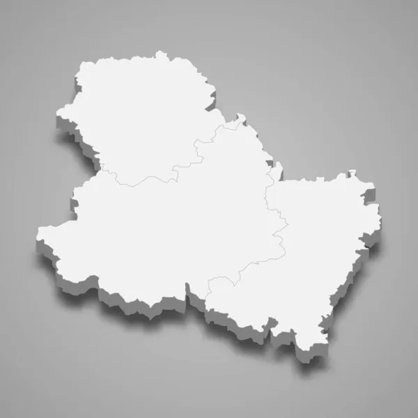
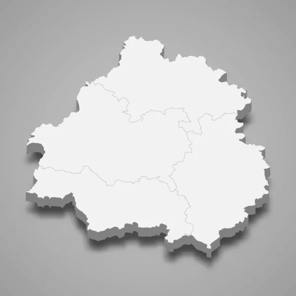
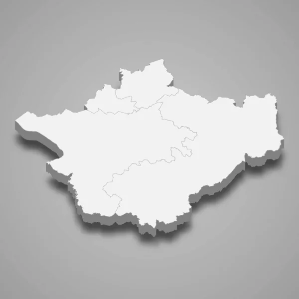
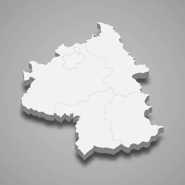
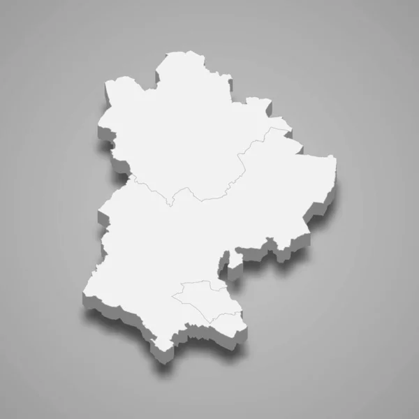
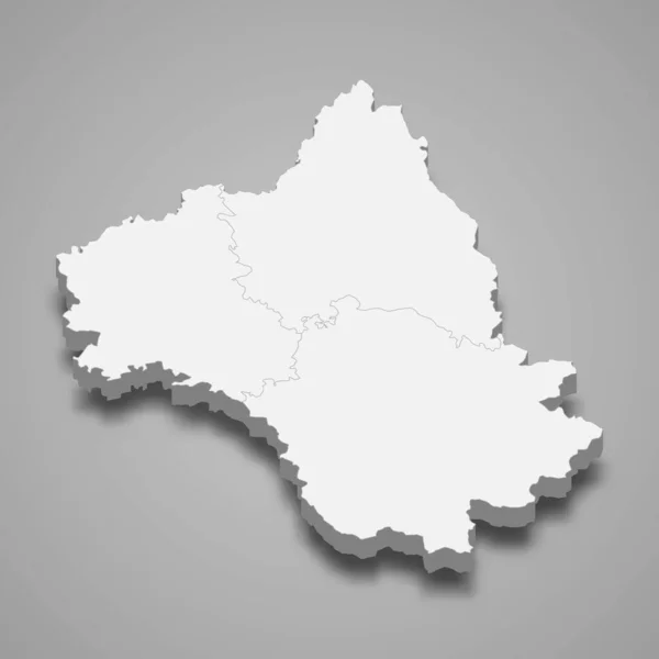
Stock vector 3d isometric map of Eure-et-Loir is a department in France, vector illustration
Published:
Nov.02, 2021 11:31:26
Author:
grebeshkovmaxim@gmail.com
Views:
1
Downloads:
0
File type:
vector
/
eps
File size:
2.41 MB
Orginal size:
4000
x
4000
px
Available sizes:
S
(500 x 500)
M
(1000 x 1000)
L
(2000 x 2000)
XL
(4000 x 4000)
VECT
(4000 x 4000)
EL0
(4000 x 4000)
Level:
silver
Download Vector
Vector topics:
Graphic
Illustration
Travel
Texture
French
Border
3d
City
France
Tourism
Detailed
Town
Capital
Famous
Outline
District
Map
Cartography
Geography
Plan
Area
Land
Overview
State
Guide
Review
Government
Political
Administrative
Department
Region
Division
Sub
Province
County
Isometric
Mapping
Calabria
Boroughs
Fredericton
Eure Et Loir
Similar stock vectors
3d Isometric Map Of Yonne Is A Department In France, Vector Illustration
4000 × 4000
3d Isometric Map Of Dordogne Is A Department In France, Vector Illustration
4000 × 4000
3d Map Of Cheshire Is A Ceremonial County Of England, Vector Illustration
4000 × 4000
3d Isometric Map Of Puy-de-Dome Is A Department In France, Vector Illustration
4000 × 4000
3d Isometric Map Of Yambol Is A Province Of Bulgaria Isolated With Shadow
4000 × 4000
3d Map Of Altai Republic Is A Region Of Russia
4000 × 4000
3d Map Of Bedfordshire Is A Ceremonial County Of England, Vector Illustration
4000 × 4000
3d Isometric Map Of Aveyron Is A Department In France, Vector Illustration
4000 × 4000