Home
Images
Vectors
Videos
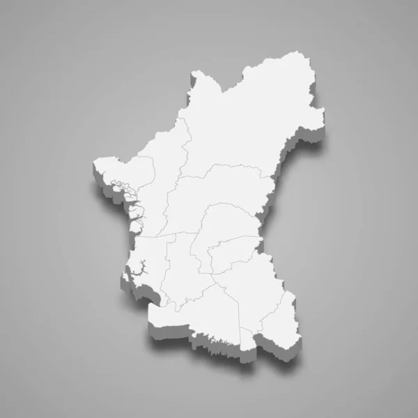
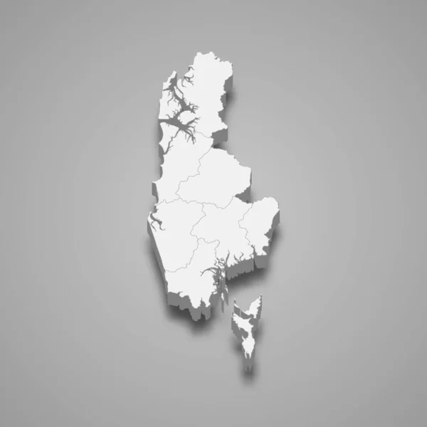
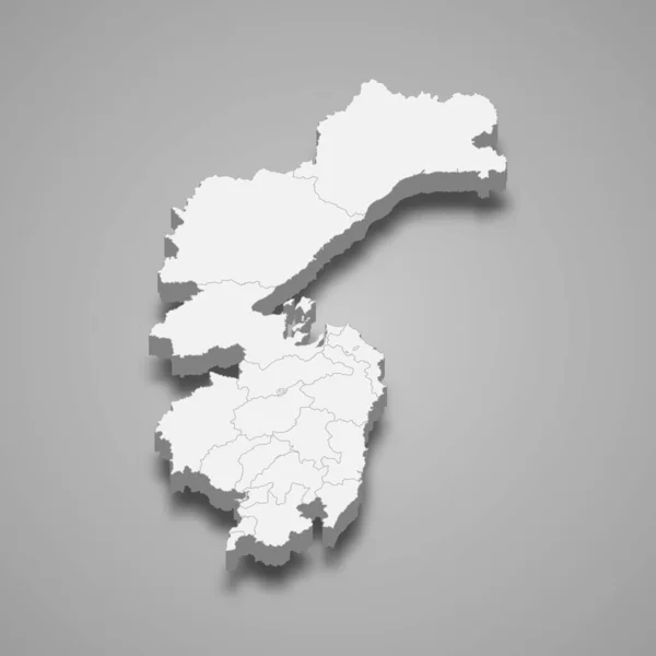
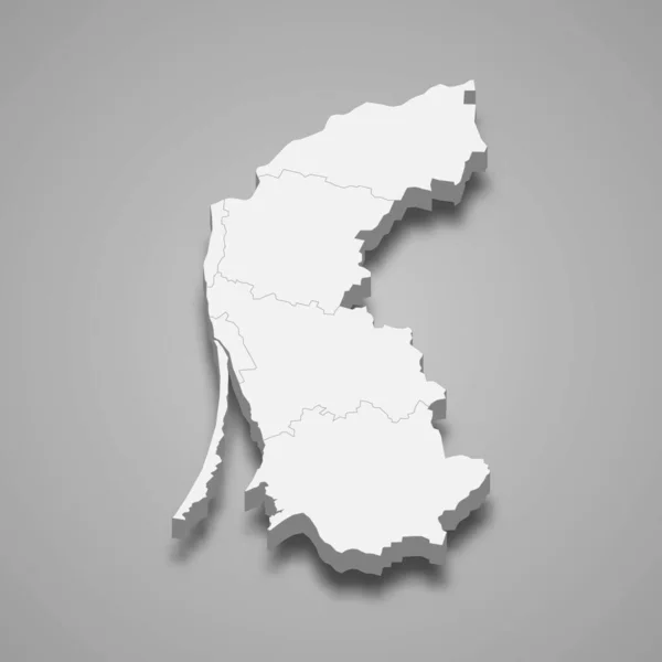
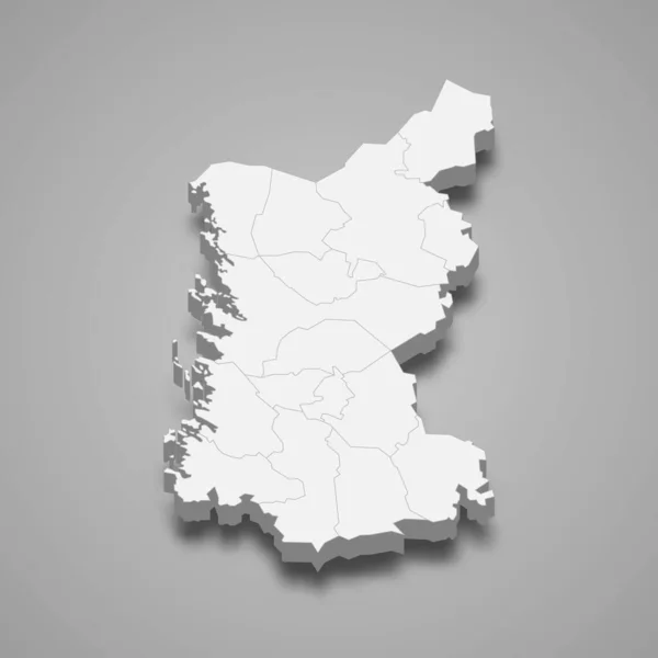
Stock vector 3d isometric map of Satakunta is a region of Finland, vector illustration
Published:
Jan.16, 2021 08:36:54
Author:
grebeshkovmaxim@gmail.com
Views:
0
Downloads:
0
File type:
vector
/
eps
File size:
3.94 MB
Orginal size:
4000
x
4000
px
Available sizes:
S
(500 x 500)
M
(1000 x 1000)
L
(2000 x 2000)
XL
(4000 x 4000)
VECT
(4000 x 4000)
EL0
(4000 x 4000)
Level:
silver
Download Vector
Vector topics:
Graphic
Illustration
Travel
Border
3d
City
Contour
Tourism
Detailed
Town
Capital
Famous
Outline
District
Map
Cartography
Geography
Plan
Area
Overview
State
Guide
Review
Island
Government
Political
Finland
Region
Division
Prefecture
Finnish
Province
County
Isometric
Mapping
Oblast
Boroughs
Satakunta
Similar stock vectors
3d Map Of Finland With Borders Of Regions
4000 × 4000
3d Map Of Astrakhan Oblast Is A Region Of Russia
4000 × 4000
3d Map Of Malta With Borders Of Regions
4000 × 4000
3d Isometric Map Of Perak Is A State Of Malaysia, Vector Illustration
4000 × 4000
3d Map Of Phang Nga Is A Province Of Thailand. Vector Illustration
4000 × 4000
3d Map Of Khabarovsk Krai Is A Region Of Russia
4000 × 4000
3d Isometric Map Of Klaipeda County Is A Region Of Lithuania Isolated With Shadow
4000 × 4000
3d Map Of Guangdong Is A Province Of China
4000 × 4000