Home
Images
Vectors
Videos
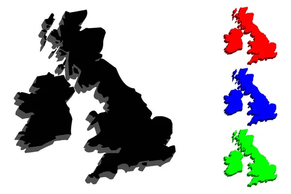
Stock vector 3D map of British Isles (United Kingdom of Great Britain and Northern Ireland, Republic of Ireland) - white, yellow, blue and gold - vector illustration
Published:
Jul.17, 2018 06:50:53
Author:
Danler
Views:
16
Downloads:
0
File type:
vector
/
eps
File size:
1.01 MB
Orginal size:
7087
x
4724
px
Available sizes:
S
(500 x 333)
M
(1000 x 667)
L
(2000 x 1333)
XL
(7087 x 4724)
VECT
(7087 x 4724)
EL0
(7087 x 4724)
Level:
bronze
Download Vector
Vector topics:
Vector
Background
Perspective
Illustration
Design
Sign
Travel
Abstract
European
Plastic
Silhouette
Border
Banner
3d
Symbol
Concept
Icon
Contour
Wallpaper
World
Tourism
Europe
Outline
Country
Map
Cartography
Geography
National
Continent
Ireland
Land
Uk
Continental
State
Topography
Borders
Patriotism
Island
England
Frontier
Atlas
Patriotic
Wales
Scotland
Isometric
Archipelago
Infographics
Infographic
Great Britain
British Isles
Similar stock vectors
3D Map Of British Isles (United Kingdom Of Great Britain And Northern Ireland, Republic Of Ireland) - Black, Red, Blue And Green - Vector Illustration
7087 × 4724
3D Map Of Wales(Cymru) - Black, Red, Blue And Green - Vector Illustration
7087 × 4724
Dotted Great Britain And Ireland Map
6865 × 4781
Great Britain Map Hex Tile Mosaic
4321 × 3704
England Map Hexagonal Mosaic
7500 × 4729
Dot Halftone Great Britain And Ireland Map
7162 × 4971
Dot Halftone Great Britain Map
6517 × 5521
Great Britain Island (Kingdom Of Great Britain, British Isles, England, Scotland, Wales) Map Vector Illustration, Scribble Sketch Map
7087 × 4726