Home
Images
Vectors
Videos
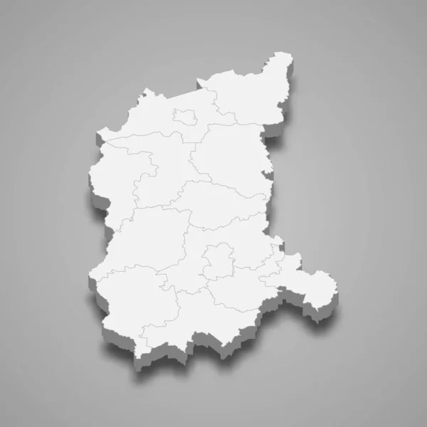
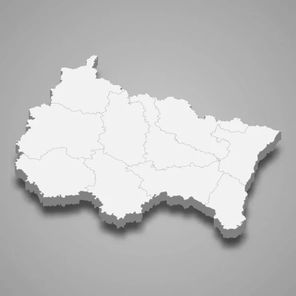
Stock vector 3d map of Grand Est is a region of France
Published:
Jun.01, 2020 21:29:45
Author:
grebeshkovmaxim@gmail.com
Views:
2
Downloads:
0
File type:
vector
/
eps
File size:
15.59 MB
Orginal size:
4000
x
4000
px
Available sizes:
S
(500 x 500)
M
(1000 x 1000)
L
(2000 x 2000)
XL
(4000 x 4000)
VECT
(4000 x 4000)
EL0
(4000 x 4000)
Level:
silver
Download Vector
Vector topics:
Graphic
Illustration
Travel
Texture
French
Border
3d
City
France
Tourism
Detailed
Town
Capital
Famous
Outline
District
Map
Cartography
Geography
Plan
Area
Land
Overview
State
Guide
Review
Government
Political
Administrative
Region
Division
Sub
Province
County
Isometric
Mapping
Calabria
Boroughs
Fredericton
Grand Est
Similar stock vectors
3d Map Of Auvergne-Rhone-Alpes Is A Region Of France
4000 × 4000
3d Map Of Aguascalientes Is A State Of Mexico, Vector Illustration
4000 × 4000
3d Map Of Gomel Oblast Is A Region Of Belarus, Vector Illustration
4000 × 4000
3d Map Of Oryol Oblast Is A Region Of Russia
4000 × 4000
3d Map Of Lower Silesia Voivodeship Is A Province Of Poland, Vector Illustration
4000 × 4000
3d Map Of Belgium With Borders Of Regions
4000 × 4000
3d Map Of Kaluga Oblast Is A Region Of Russia
4000 × 4000
3d Map Of Lubusz Voivodeship Is A Province Of Poland, Vector Illustration
4000 × 4000