Home
Images
Vectors
Videos
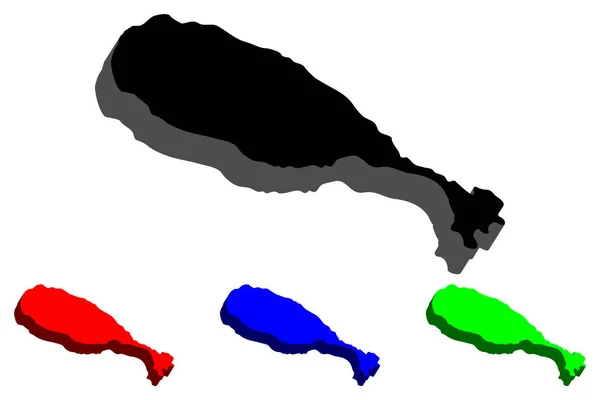
Stock vector 3D map of Guadeloupe (island - insular region of France) - black, red, blue and green - vector illustration
Published:
Jul.24, 2018 10:14:02
Author:
Danler
Views:
5
Downloads:
0
File type:
vector
/
eps
File size:
0.68 MB
Orginal size:
7087
x
4724
px
Available sizes:
S
(500 x 333)
M
(1000 x 667)
L
(2000 x 1333)
XL
(7087 x 4724)
VECT
(7087 x 4724)
EL0
(7087 x 4724)
Level:
bronze
Download Vector
Vector topics:
Vector
Background
Perspective
Graphic
Illustration
Design
Shape
Sign
Travel
Abstract
Plastic
Silhouette
Border
Banner
3d
Symbol
Concept
Icon
Contour
Wallpaper
World
France
Tourism
North
Outline
Country
Map
Cartography
Geography
National
Land
Symbolic
State
Topography
America
Borders
Patriotism
Island
Region
Caribbean
Central
Frontier
Atlas
Patriotic
Nation
Isometric
Guadeloupe
Archipelago
Infographics
Infographic
Similar stock vectors
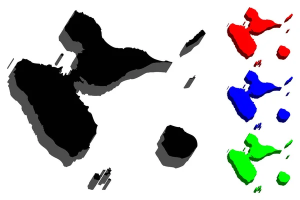
3D Map Of Comoros (Union Of The Comoros) - Black, Red, Blue And Green - Vector Illustration
7087 × 4724
3D Map Of Malaysia (Peninsular Malaysia And Malaysian Borneo) - Black, Red, Blue And Green - Vector Illustration
7087 × 4724
3D Map Of Cuba (Republic Of Cuba) - Black, Red, Blue And Green - Vector Illustration
7087 × 4724
3D Map Of Sumatra - Black, Red, Blue And Green - Vector Illustration
7087 × 4724
3D Map Of Greece (Hellenic Republic, Hellas) - Black, Red, Blue And Green - Vector Illustration
7087 × 4724
3D Map Of Saint Kitts (Federation Of Saint Christopher And Nevis, Saint Kitts And Nevis) - Black, Red, Blue And Green - Vector Illustration
7087 × 4724
3D Map Of Brunei (Nation Of Brunei, The Abode Of Peace) - Black, Red, Blue And Green - Vector Illustration
7087 × 4724
3D Map Of Svalbard (Spitsbergen) - Black, Red, Blue And Green - Vector Illustration
7087 × 4724