Home
Images
Vectors
Videos
Stock vector 3d map with borders of regions
Published:
Feb.10, 2020 13:29:22
Author:
grebeshkovmaxim@gmail.com
Views:
6
Downloads:
1
File type:
vector
/
eps
File size:
0.96 MB
Orginal size:
4000
x
4000
px
Available sizes:
S
(500 x 500)
M
(1000 x 1000)
L
(2000 x 2000)
XL
(4000 x 4000)
VECT
(4000 x 4000)
EL0
(4000 x 4000)
Level:
silver
Download Vector
Vector topics:
White
Vector
Background
Graphic
Illustration
Design
Isolated
Travel
Black
Line
Border
3d
Gray
Float
Flat
Part
Grey
Shadow
World
Country
District
Map
Geography
Area
National
Continent
Land
Boundary
Geographic
States
Region
Dimension
Federal
Territory
Frontier
Atlas
Borderline
Zone
Province
Nation
El Salvador
Similar stock vectors
Shiny Icon In Form Of El Salvador
5500 × 5500
El Salvador Map Abstract Geometric Mesh Polygonal Light Concept With Black And White Glowing Contour Lines Countries And Dots On Dark Background. Vector Illustration
4000 × 4000
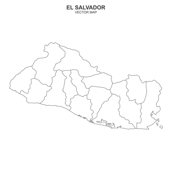
El Salvador Map, Black And White Detailed Outline Regions Of The Country. Vector Illustration
7926 × 5095
Republic Of El Salvador Handdrawn Map Colourful Sketchy Country Outline Breathtaking Republic Of
5485 × 5485
3d Map With Borders Of Regions
4000 × 4000
El Salvador Blue Low Poly Map With Capital San Salvador.
5000 × 5000
Vector Contour Dotted Map Of El Salvador With Caption
6608 × 3600
Political Map Of El Salvador On White Background
6000 × 6000