photo free
Home Images Vectors Videos

Stock vector A hand-drawn continuous line map of Saint Lucia. Island and country in the east of the Ouaribe Sea. Vector illustration.

Stock vector A hand-drawn continuous line map of Saint Lucia. Island and country in the east of the Ouaribe Sea. Vector illustration.
Published: Jul.02, 2024 17:09:57
Author: anna_art.r
Views: 0
Downloads: 0
File type: vector / eps
File size: 0.33 MB
Orginal size: 5783 x 3309 px
Available sizes:
S
(500 x 286)
M
(1000 x 572)
L
(2000 x 1144)
XL
(5783 x 3309)
VECT
(5783 x 3309)
EL0
(5783 x 3309)
Level: beginner
Download Vector
Vector topics:

Similar stock vectors

stock vector Saint Lucia Country Map. Black silhouette and outline isolated on white background. EPS Vector

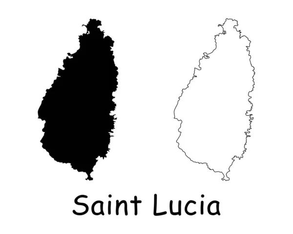
Saint Lucia Country Map. Black Silhouette And Outline Isolated On White Background. EPS Vector

10418 × 8334
stock vector Vector Contour Dotted Map of Saint Lucia Island with Name

Vector Contour Dotted Map Of Saint Lucia Island With Name

4633 × 3600
stock vector State borders of Bolivia. Country silhouette. State in central South America. Vector illustration.

State Borders Of Bolivia. Country Silhouette. State In Central South America. Vector Illustration.

5783 × 3309
stock vector Red Starred Mosaic Map of Saint Lucia Island

Red Starred Mosaic Map Of Saint Lucia Island

5726 × 4366
stock vector Saint Lucia political map

Saint Lucia Political Map

6623 × 9666
stock vector Polygonal 2D Mesh High Detail Vector Map of Saint Lucia Island Abstractions

Polygonal 2D Mesh High Detail Vector Map Of Saint Lucia Island Abstractions

4451 × 4151
stock vector Brunei Country Map. Black silhouette and outline isolated on white background. EPS Vector

Brunei Country Map. Black Silhouette And Outline Isolated On White Background. EPS Vector

10418 × 8334
stock vector Curved paper map of Saint Lucia with capital Castries on Gray Background.

Curved Paper Map Of Saint Lucia With Capital Castries On Gray Background.

6496 × 5000