Home
Images
Vectors
Videos
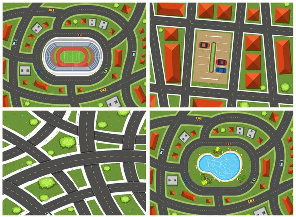
Stock vector A Set of Map Ariel View illustration
Published:
Jun.18, 2018 14:20:21
Author:
blueringmedia
Views:
2
Downloads:
0
File type:
vector
/
eps
File size:
11.12 MB
Orginal size:
5474
x
4018
px
Available sizes:
S
(500 x 367)
M
(1000 x 734)
L
(2000 x 1468)
XL
(5474 x 4018)
VECT
(5474 x 4018)
EL0
(5474 x 4018)
Level:
gold
Download Vector
Vector topics:
Image
Vector
Background
Perspective
View
Graphic
Illustration
Art
Travel
Rural
Transport
Pattern
Join
Picture
Road
Village
Building
City
Urban
Tile
Drawing
Street
Clip
Clipart
Clip Art
Country
Angle
Cartography
Plan
Topography
Motorway
Place
Suburb
Airport
Junction
Expressway
Ariel
Road Map
Street Map
Similar stock vectors
Top View Of The City
5000 × 5000
Top View Transport Of The Road On The City Street With Junction Traffic Car. Transportation Vector Illustration Of Way Map With Asphalt Highway
8565 × 2952
Scene With Roads And Sport Fields
4684 × 4697
Urban City Top View. View From Above. Aerial
6067 × 4803
Epidemic MERS-CoV Medical Cross Shield Indicated Points Disease Spread Coronavirus Infection Wuhan 2019-nCoV Pandemic Health Risk City Map Horizontal Top Angle View
4970 × 3265
Four Landscapes From Top View
4674 × 4707
Plan Of City. Top View Of The City With The Road
5000 × 5000