photo free
Home Images Vectors Videos

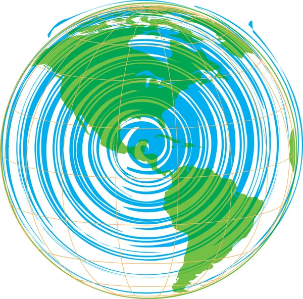
Stock vector Abstract vector map of America
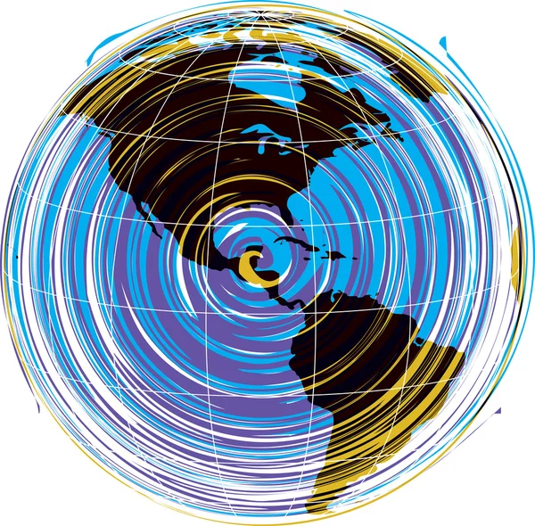
Stock vector Abstract vector map of America
Published: Mar.02, 2012 06:12:22
Author: aroas
Views: 202
Downloads: 0
File type: vector / eps
File size: 0.64 MB
Orginal size: 4843 x 4763 px
Available sizes:
S
(500 x 492)
M
(1000 x 983)
L
(2000 x 1967)
XL
(4843 x 4763)
VECT
(4843 x 4763)
EL0
(4843 x 4763)
Level: silver
Download Vector
Vector topics:

Similar stock vectors

stock vector Abstract vector map of America

Abstract Vector Map Of America

4831 × 4774
stock image Japan and Korea from space on Earth with country borders and lines representing international communication, travel, connections. 3D illustration. Elements of this image furnished by NASA.

Japan And Korea From Space On Earth With Country Borders And Lines Representing International Communication, Travel, Connections. 3D Illustration. Elements Of This Image Furnished By NASA.

5000 × 3750
stock image Central America from space on Earth with country borders and lines representing international communication, travel, connections. 3D illustration. Elements of this image furnished by NASA.

Central America From Space On Earth With Country Borders And Lines Representing International Communication, Travel, Connections. 3D Illustration. Elements Of This Image Furnished By NASA.

5000 × 3750
stock image East Asia from space on Earth with country borders and lines representing international communication, travel, connections. 3D illustration. Elements of this image furnished by NASA.

East Asia From Space On Earth With Country Borders And Lines Representing International Communication, Travel, Connections. 3D Illustration. Elements Of This Image Furnished By NASA.

5000 × 3750
stock image Transportation

Transportation

2170 × 1900
stock image Asia from space on Earth with lines representing international communication, travel, connections. 3D illustration. Elements of this image furnished by NASA.

Asia From Space On Earth With Lines Representing International Communication, Travel, Connections. 3D Illustration. Elements Of This Image Furnished By NASA.

5000 × 3750
stock image Tonga tectonic plate extruded and presented against the global satellite imagery in the Mollweide projection. 3D rendering

Tonga Tectonic Plate Extruded And Presented Against The Global Satellite Imagery In The Mollweide Projection. 3D Rendering

2880 × 1620
stock vector Terrestrial Magnetic Field

Terrestrial Magnetic Field

6463 × 6000