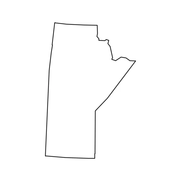
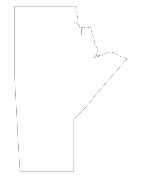
Stock vector Accurate map of Manitoba
Published: Apr.04, 2016 07:35:49
Author: rbiedermann
Views: 5
Downloads: 0
File type: vector / eps
File size: 0.61 MB
Orginal size: 4000 x 5000 px
Available sizes:
Level: silver