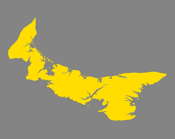
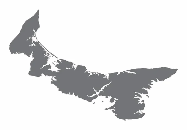
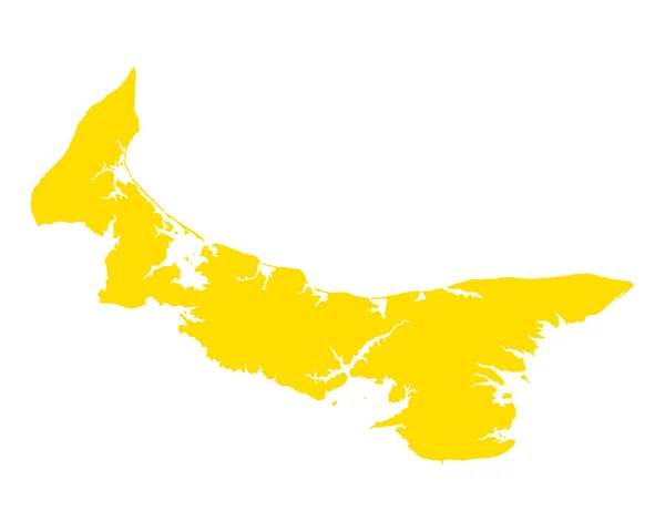
Stock vector Accurate map of Prince Edward Island
Published: Jul.27, 2018 12:55:37
Author: rbiedermann
Views: 0
Downloads: 0
File type: vector / eps
File size: 0.58 MB
Orginal size: 5000 x 4000 px
Available sizes:
Level: silver