Home
Images
Vectors
Videos
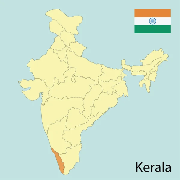
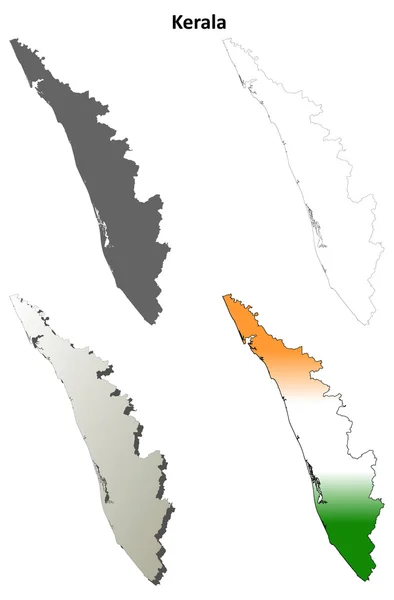
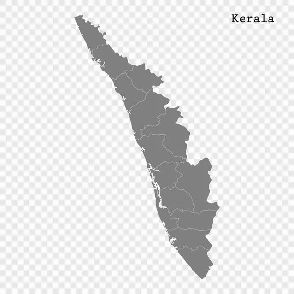
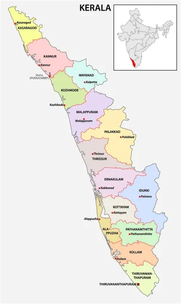
Stock vector administrative and political map of indian state of kerala, india
Published:
Apr.17, 2020 21:19:17
Author:
PantherMediaSeller
Views:
17
Downloads:
0
File type:
vector
/
zip
File size:
0 MB
Orginal size:
3709
x
4000
px
Available sizes:
S
(464 x 500)
M
(927 x 1000)
L
(1855 x 2000)
XL
(3709 x 4000)
VECT
(3709 x 4000)
EL0
(3709 x 4000)
Level:
platinum
Download Vector
Vector topics:
White
Vector
Background
Graphic
Illustration
Design
Isolated
Shape
Art
Travel
Colour
Pattern
Sea
Silhouette
Border
Symbol
Concept
City
Communication
Contour
Grey
Simple
Globe
Outline
Country
Map
Cartography
Geography
Area
Asia
State
Political
Administrative
Of
India
Region
Indian
And
Maps
Highlighted
Mapping
Districts
Kerala
Nadu
Outline Map
Similar stock vectors
Administrative And Political Map Of Indian State Of Kerala, India
3100 × 5148
Kerala District Map In Colorful Design Vector Illustration.
3102 × 2770
Kerala Map. Vector Illustration Of Colourful District Map Of Kerala With Borders.
2634 × 3100
Kerala Map With Borders Vector Illustration. Kerala Map
2634 × 3100
Kerala Map. Vector Illustration Of District Map Of Kerala With Outline Border
3099 × 2790
Kerala, Map Of India With State Borders
7000 × 7000
Kerala Outline Map Set
3850 × 5860
High Quality Map Of State Of India
4000 × 4000