Home
Images
Vectors
Videos
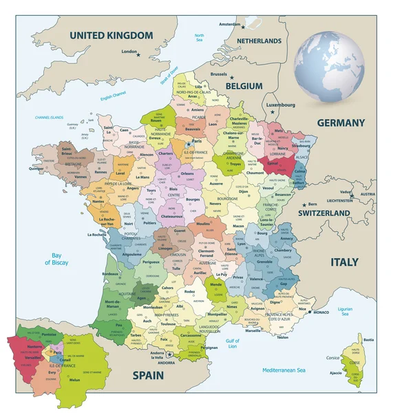
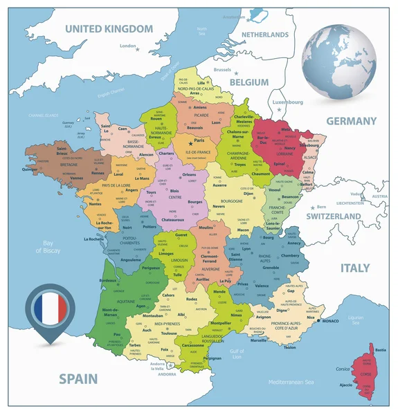
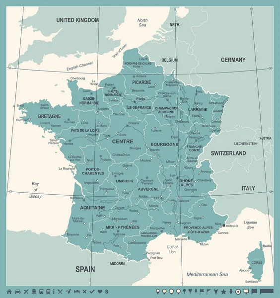
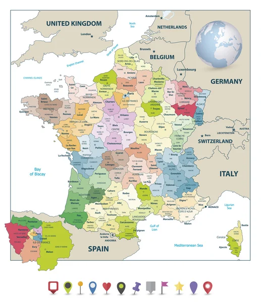
Stock vector Administrative divisions map of France and flat navigation icons
Published:
Jun.09, 2016 06:42:07
Author:
Cartarium
Views:
78
Downloads:
1
File type:
vector
/
eps
File size:
9.62 MB
Orginal size:
7072
x
8192
px
Available sizes:
S
(432 x 500)
M
(863 x 1000)
L
(1727 x 2000)
XL
(7072 x 8192)
VECT
(7072 x 8192)
EL0
(7072 x 8192)
Level:
bronze
Download Vector
Vector topics:
Color
Vector
Background
Colorful
Illustration
Design
Travel
Abstract
European
French
Border
Frame
Icon
Flat
Earth
France
Tourism
Europe
Globe
Navigation
Outline
Country
Map
Cartography
Geography
National
Political
Administrative
Union
Thumbtack
United
Republic
Department
Paris
Region
Main
Bordeaux
Province
Areas
Corsica
Lyon
Map Pointer
Heart Icon
Pin Icon
Similar stock vectors
Administrative Divisions Map Of France
7802 × 8192
Administrative Divisions Map Of France 2
7860 × 8192
Central Europe Region. Colorful Map Of Countries In Central Part Of Europe. Vector Illustration
6000 × 6000
France Map - Vintage Vector Illustration
5500 × 5843
Central Europe Region. Map Of Countries In Central Part Of Europe. Vector Illustration
6000 × 6000
Vector Outline Map Of Main French Regional Languages
3288 × 3100
West Europe Region. Colorful Map Of Countries In Western Europe. Vector Illustration
6000 × 6000
Vector Illustrated Map Of France With Regions And Territories And Administrative Divisions, And Neighbouring Countries. Editable And Clearly Labeled Layers.
4000 × 4700