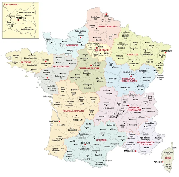
Stock vector administrative divisions of france
Published: Jul.31, 2020 10:14:50
Author: PantherMediaSeller
Views: 48
Downloads: 3
File type: vector / zip
File size: 0 MB
Orginal size: 4268 x 4488 px
Available sizes:
Level: platinum