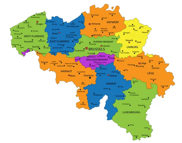
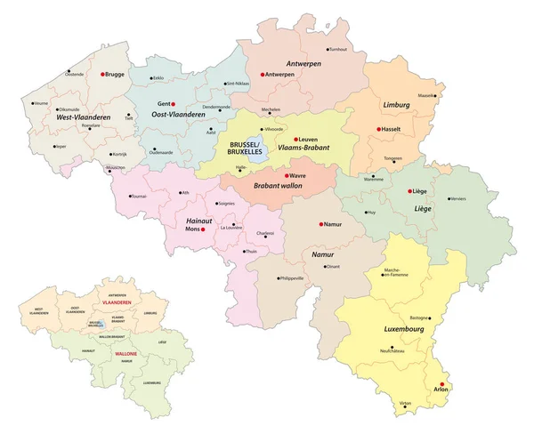
Stock vector administrative vector map of belgium regions, provinces and districts
Published: Sep.08, 2021 12:17:24
Author: Lesniewski
Views: 39
Downloads: 0
File type: vector / eps
File size: 1.1 MB
Orginal size: 4000 x 3256 px
Available sizes:
Level: bronze
Similar stock vectors

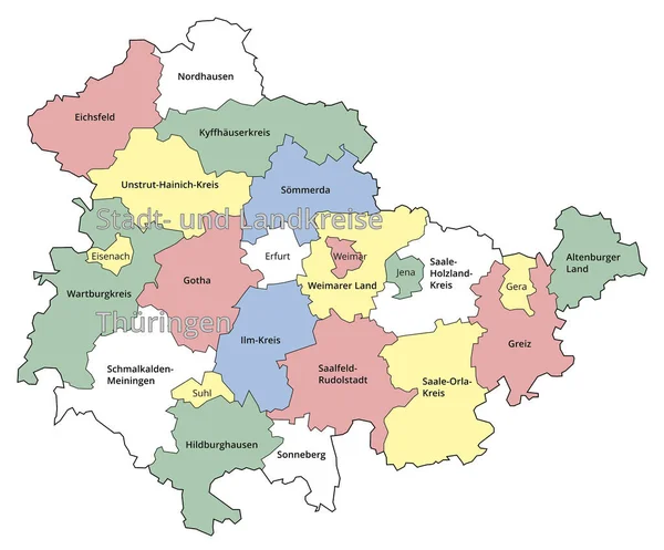
Visualisation The Urban District And Administrative District Of Thuringia. Colored Background.
2352 × 1951