Home
Images
Vectors
Videos
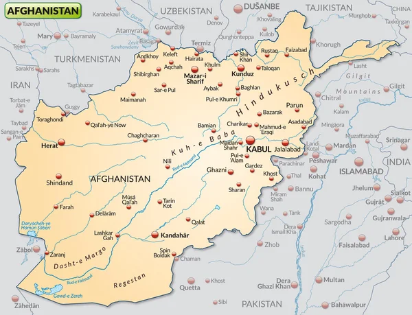
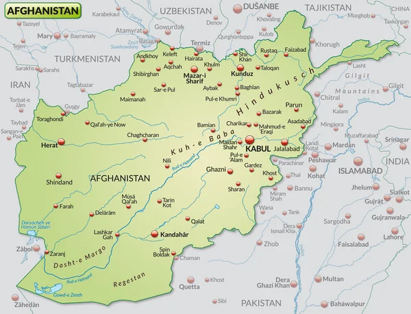
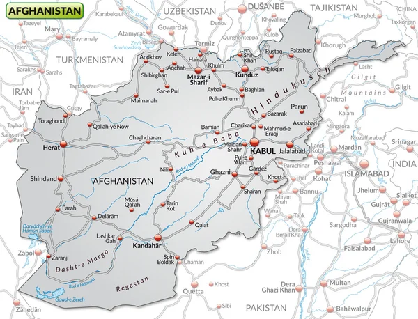
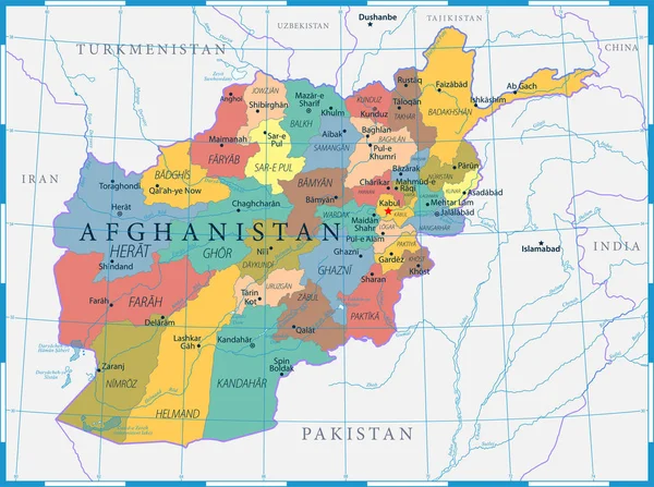
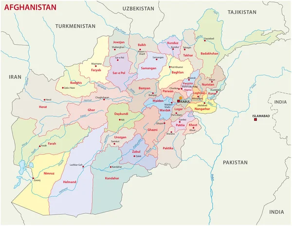
Stock vector Afghanistan administrative and political vector map includes surrounding countries, in color with cities, district names and capitals
Published:
Jan.30, 2017 10:38:02
Author:
Lesniewski
Views:
330
Downloads:
3
File type:
vector
/
eps
File size:
1.28 MB
Orginal size:
4002
x
3100
px
Available sizes:
S
(500 x 387)
M
(1000 x 775)
L
(2000 x 1549)
XL
(4002 x 3100)
VECT
(4002 x 3100)
EL0
(4002 x 3100)
Level:
bronze
Download Vector
Vector topics:
Color
Background
Colorful
Element
Colored
Illustration
Design
Isolated
Travel
Detail
Cutout
Cut
Silhouette
Border
Symbol
City
Clip
Detailed
Asian
Outline
Country
District
Map
Geography
National
Continent
Asia
State
Sovereign
Location
Boundary
Political
Administrative
Region
Division
Territory
Afghan
Atlas
Province
Nation
County
Afghanistan
Territories
Kabul
Counties
Politically
Pashto
South Asia
Geographically
Islamic Republic
Similar stock vectors
Map Of Afghanistan
4571 × 3500
Map Of Afghanistan
4571 × 3500
Map Of Afghanistan
4571 × 3500
Map Of Afghanistan
4574 × 3498
Map Of Afghanistan
4578 × 3495
Map Of Afghanistan
4575 × 3499
Map Of Afghanistan
4658 × 3586
Afghanistan Map Political - Capital, Cities, Rivers And Lakes - Detailed Vector Illustration
7377 × 5500